Winston-Salem Greenway Guide
Greenways near Winston-Salem
Your guide to paths and trails in Winston-Salem and surrounding communities, including Kernersville, Clemmons, and Bermuda Run.
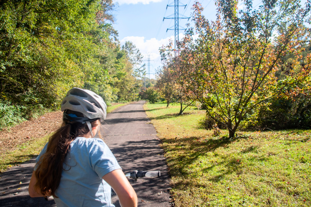
Winston-Salem’s greenways offer more than 30 miles of routes for walking, biking, and exploring the outdoors. These shared-use paths connect neighborhoods, parks, and everyday destinations across the Winston-Salem metropolitan area, with options for all ages and abilities.
What is a greenway?
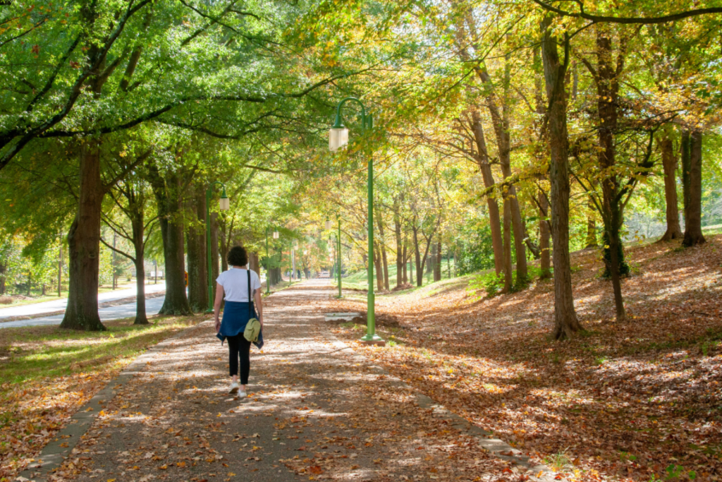
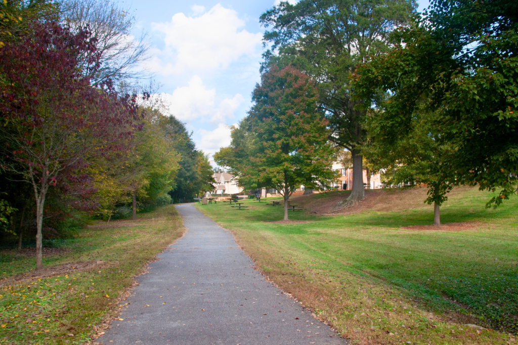
Greenways are open space corridors that are protected for recreational use and can serve as an alternative transportation route for those traveling by foot or bike. A mix of paved and crushed gravel trails, along with boardwalks and bridges, these multi-use paths are designed to be suitable for bikes, strollers and more. Many routes connect, making it easy to extend your trip and discover more places to walk or bike in Winston-Salem and surrounding areas.
This guide highlights greenways in Winston-Salem and nearby communities, with key details on length, surface, parking, and connections to help you quickly find the right trail.
Kernersville Greenways
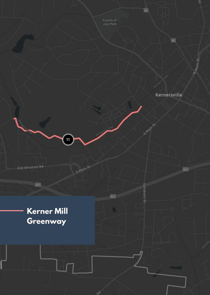
Kerner Mill Greenway
Kerner Mill Greenway is a short, peaceful trail that runs alongside Kerner Mill Creek, winding past a small section of farmland and the Etta Lea & Lawrence Pope Memorial Park. Two elevated boardwalks provide scenic creek views, while the trail passes behind some residential areas, offering a quiet, convenient route for neighborhood and downtown access.
Trail Connections: The greenway links nearby streets and residential areas to Kernersville’s popular downtown, making it a useful local route for short outings and neighborhood exploration. Kerner Mill Greenway serves as a central hub of the planned Piedmont Greenway, which will one day connect Winston-Salem and Greensboro.
Parking: Public parking is available at the Oakhurst Street trailhead.
Entrances:
- Etta Lea & Lawrence Pope Memorial Park Trailhead: Currently under construction. To be located on Lambeth Farm Lane.
- Oakhurst Street Trailhead: 219 Oakhurst St, Kernersville, NC 27284
- Owl’s Nest Lane Trailhead: End of the cul de sac on Owl’s Nest Ln, Kernersville, NC 27284
- Location: Kernersville
- Distance: 1.2 miles
- Surface: Paved
- Highlights: Boardwalk & Farmland
- Amenities: No public restrooms.
Winston-Salem Greenways
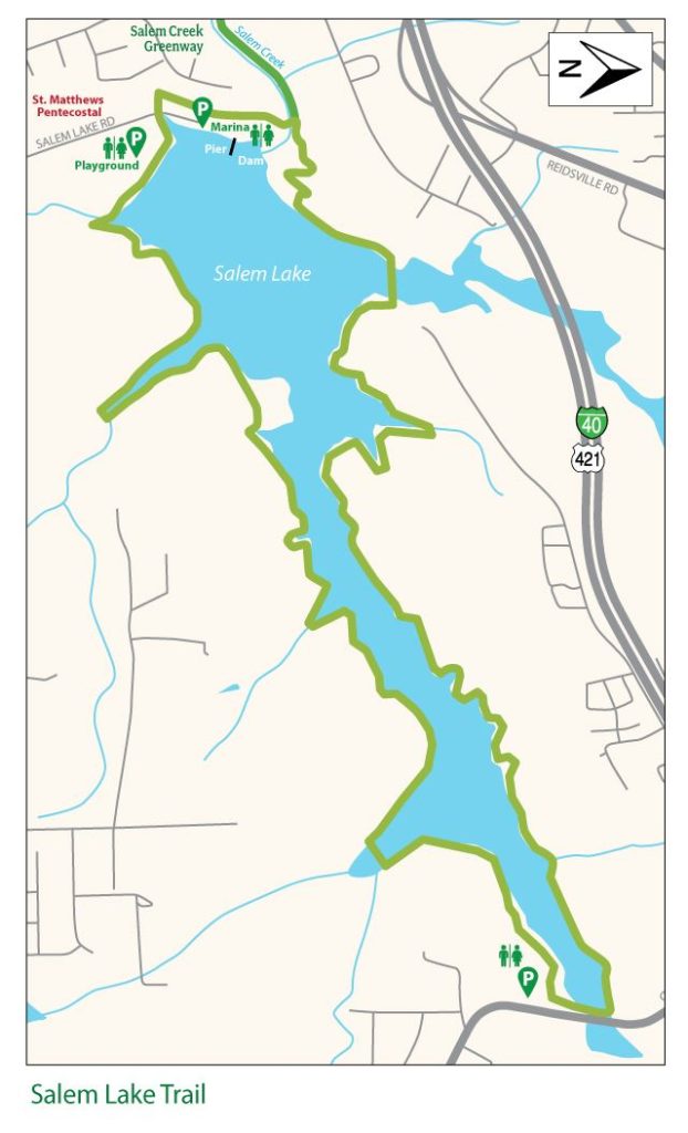
Salem Lake Trail
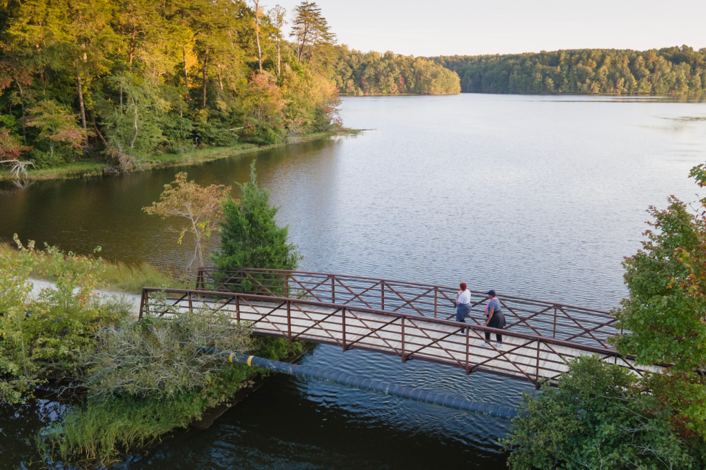
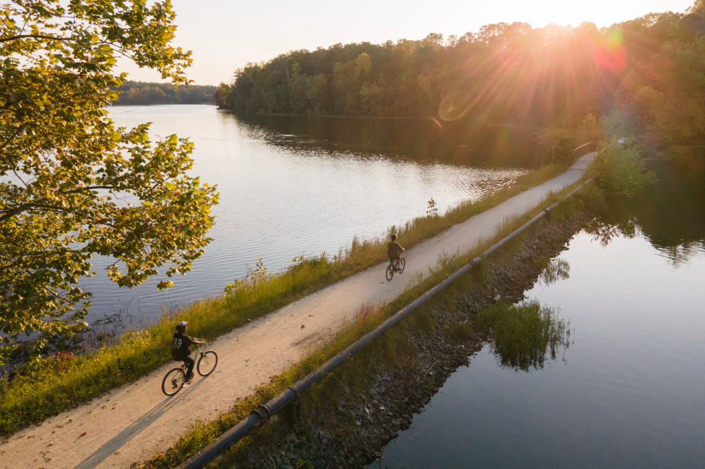
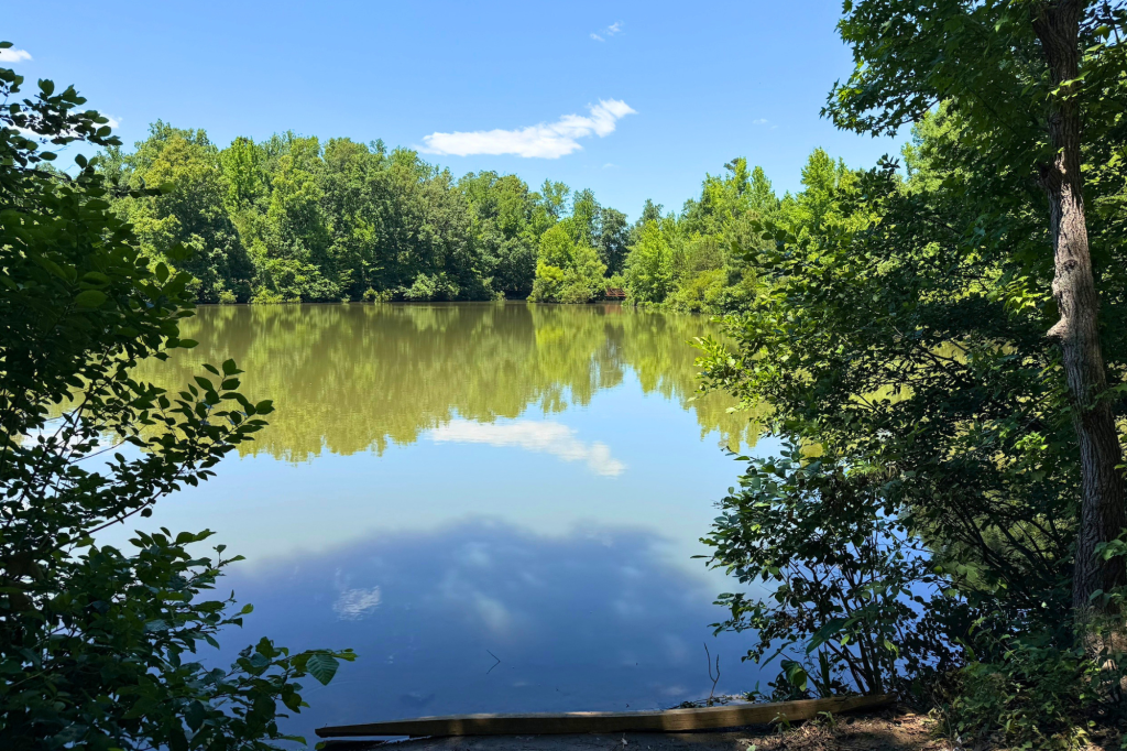
A Winston-Salem favorite, the 7-mile Salem Lake Trail is a mostly shaded loop that circles the lake. The crushed limestone path is suited for walking, running, or biking. Traveling along the water’s edge, the trail is a well-known destination for peaceful lake views and spotting local wildlife like turtles, ducks, herons and deer.
Trail Connections: Salem Lake Trail connects directly to the Salem Creek Greenway, providing access to additional greenways, roads, and destinations throughout Winston-Salem.
Parking: Public parking is available at Salem Lake Road and Linville Road trailheads.
Entrances:
- Salem Lake Road Trailhead: 815 Salem Lake Road, Winston-Salem
- Linville Road Trailhead: Linville Rd SE, Winston-Salem, NC 27107
- Location: Winston-Salem
- Distance: 7-mile loop
- Surface: Unpaved
- Highlights: Lake & Wildlife
- Amenities: Restrooms are available at both trailheads.
Salem Creek Greenway
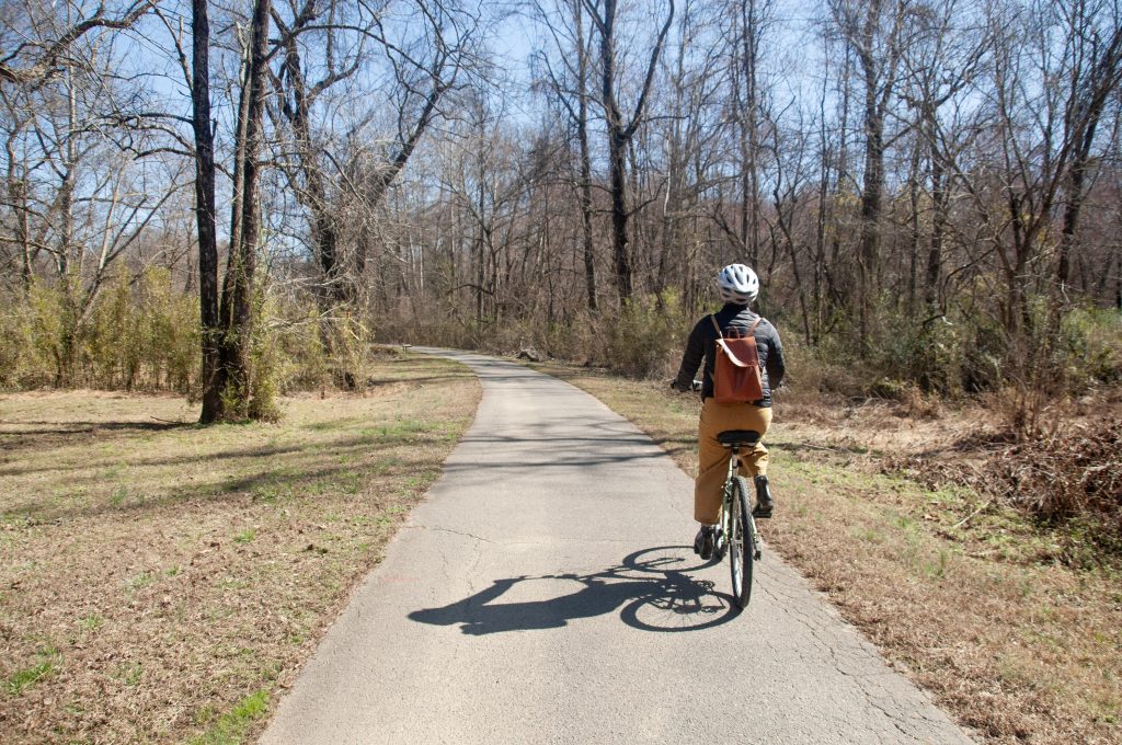
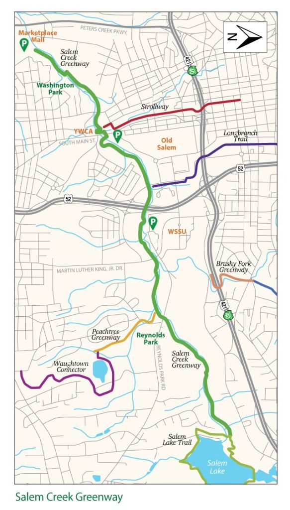
The Salem Creek Greenway takes you more than 5 miles across the city, following Salem Creek through several Winston-Salem neighborhoods. Because of its many connections to other greenways, the Salem Creek Greenway is a popular choice for bicyclists. The terrain is mostly flat, with a few hills, and the route winds through wooded areas with scenic creek views, passing several main thoroughfares and connecting to numerous parks and schools.
Trail Connections: Salem Creek Greenway serves as a central spine of the city’s trail network. You can extend your route with connections to Salem Lake Trail, the Strollway, Long Branch Trail, and Peachtree Greenway. Along the way, Salem Creek Greenway also connects to recreation destinations like Reynolds, Central, Happy Hill, and Washington Parks, as well as Gateway Nature Preserve.
Parking: Public parking is available at the locations below.
- Marketplace Mall/Peters Creek Parkway: 694 Hanes Mall Blvd
- Washington Park: 1490 S Broad Street
- Reynolds Park: 2450 Reynolds Park Rd.
- Salem Lake Park: 1001 Salem Lake Rd or 230 Linville Rd.
- Location: Winston-Salem
- Distance: 5.2 miles
- Surface: Paved
- Highlights: Creek and Parks
- Amenities: Restrooms are available at each of the adjoining parks.
The Strollway
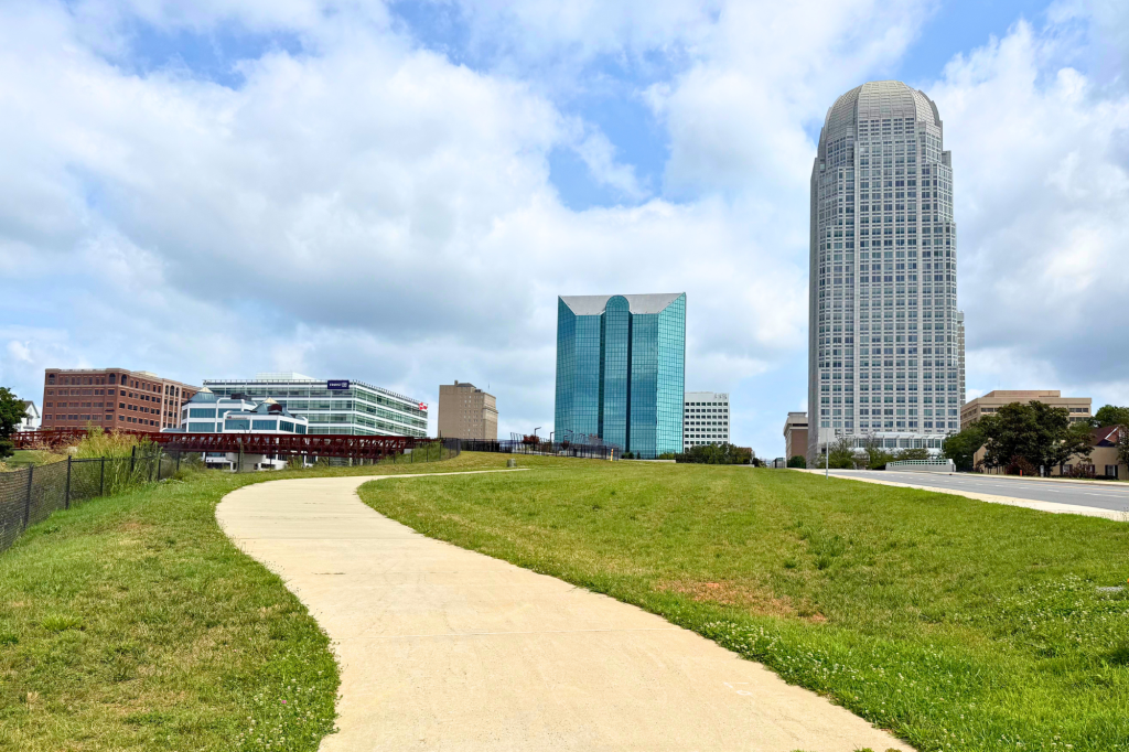
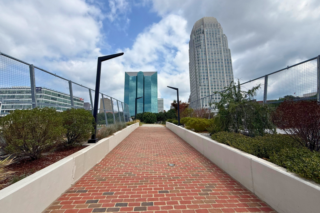
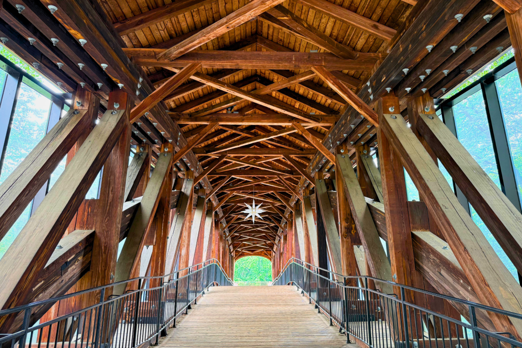
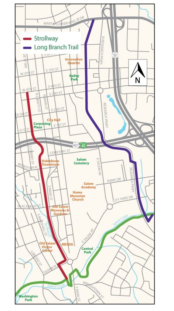
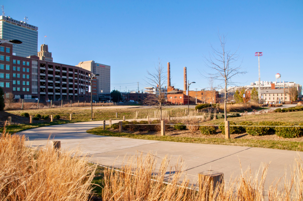
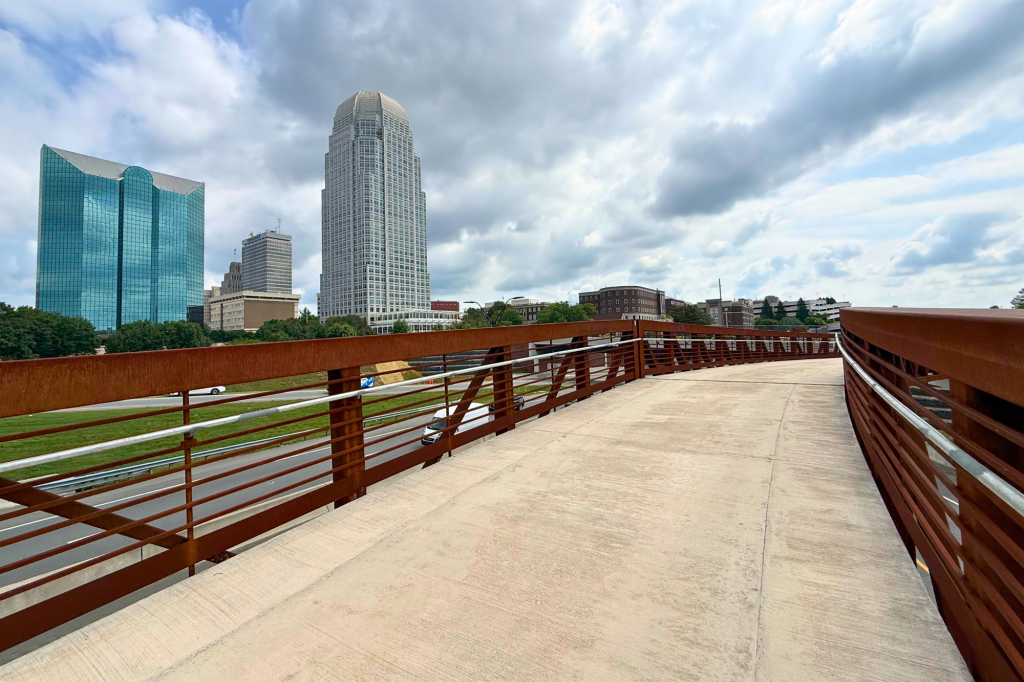
The Strollway is a 1.2-mile urban greenway that connects two key sections of the city. If you walk this trail from north to south, you might feel like you’re stepping back in time from the city’s modern downtown business center to the historic district of Old Salem. The greenway’s iconic bridges are another highlight along the way. At the northern end: the Strollway Pedestrian Bridge. Recorded as the first land bridge in North Carolina, this modern walkway is lined on both sides by ornamental trees and native plants, creating a green oasis right over the highway. To the south, the Strollway passes by another impressive feat of engineering: a covered bridge designed in the style used by the area’s Morvian settlers back in the 19th century. Known as the Heritage Bridge, the timber structure serves as a gateway to the Old Salem visitor’s center and is one of the city’s most photographed spots.
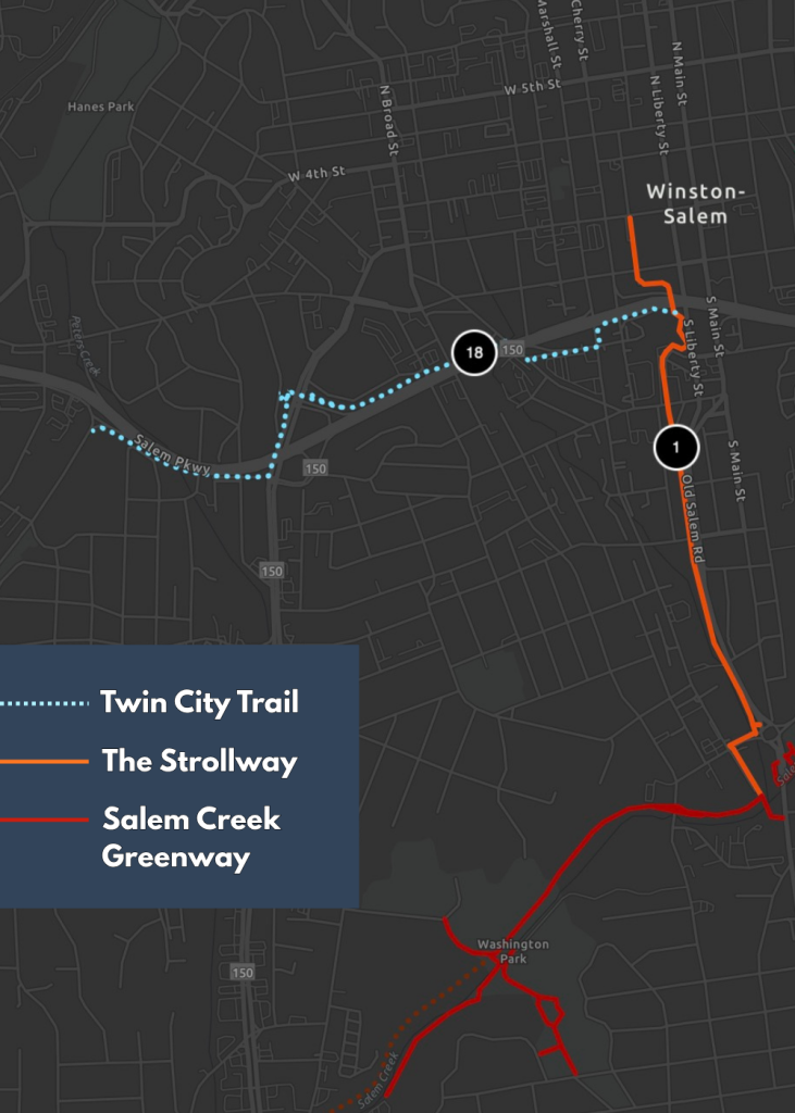
Trail Connections: The Strollway crosses Salem Parkway, connecting users to downtown, Old Salem, the new Twin City Trail, and the Salem Creek Greenway, which extends the connection to additional trails and routes throughout Winston-Salem.
Parking: Public parking is available along the street at various locations and within parking lots/decks at the locations below. For more information, check out the Downtown Winston-Salem Parking Guide.
Entrances:
- Old Salem Museums & Gardens: 900 Old Salem Road, Winston-Salem, NC 27101
- Liberty Plaza Parking Deck: 235 Town Run Lane, Winston-Salem, NC 27101
- Location: Winston-Salem
- Distance: 1.2 miles
- Surface: Partially Paved
- Highlights: Historic Old Salem, Covered Bridge
- Amenities: Public restrooms are available in the Old Salem Visitor’s Center and private restrooms may be found at various downtown locations.
Twin City Trail
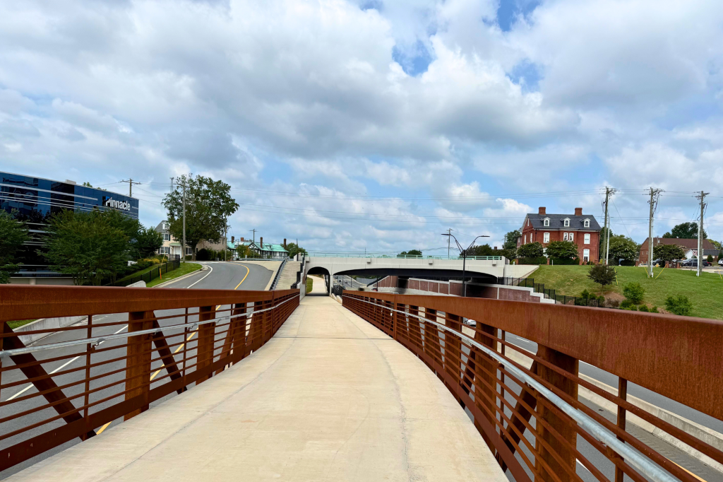
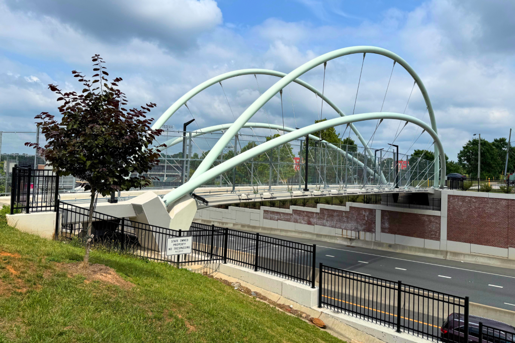
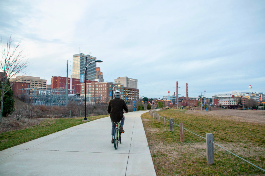
The Twin City Trail provides a paved connection along Salem Parkway. Moving east to west, the trail links the downtown business district to the Truist Stadium before ending near the West End Historic District. The path begins with a pedestrian bridge that branches off from the Strollway, then it travels beneath Salem Parkway and passes S Broad Street and Green Street, where you’ll find the award-winning Green Street Pedestrian Bridge. The next highlight on the route is the ballpark, after which the path currently ends in the residential area on West Fourth Street. Ongoing improvements include plans to extend the trail from West Fourth Street to Lockland Avenue, providing a connection to Atrium Health Wake Forest Baptist Medical Center.
Trail Connections: The Twin City Trail serves as a key connector within Winston-Salem’s growing urban trail network. The trail provides access to the Strollway, Truist Stadium, West End Historic District, and surrounding streets that connect users to nearby businesses, restaurants, and services.
Parking: Public parking is available in downtown decks with limited street parking nearby. For more information, check out the Downtown Winston-Salem Parking Guide.
- Location: Winston-Salem
- Distance: 0.9 miles
- Surface: Paved
- Highlights: Ballpark, Green St. Bridge
- Amenities: Restrooms and water available at Truist Stadium and various downtown destinations.
Long Branch Trail
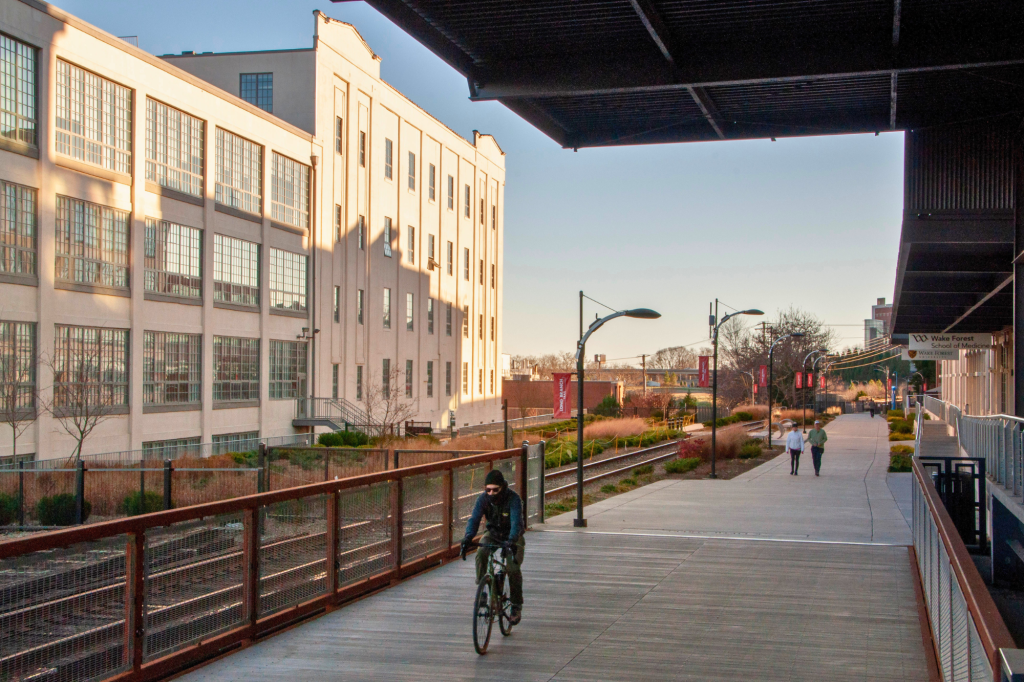
The Long Branch Trail is a 1.6-mile greenway beginning at Martin Luther King Jr. Drive, following Research Parkway along the path of an old railroad line before connecting to the Salem Creek Greenway. It runs directly through the heart of Winston-Salem’s Innovation Quarter. Once a manufacturing zone primarily housing tobacco factories, this area has been transformed into a popular mixed-use district featuring cutting-edge research companies, local businesses, restaurants, apartments, and more. On the Long Branch Trail, you’ll see remnants of the city’s industrial past alongside modern spaces built around research, business, and new ideas. Bridges, elevated sections, and urban views along the way showcase the unique character of the district. Future extensions will expand the northern end of the trail 1.2 miles from Martin Luther King Jr Dr to Blum/Blanding Park near E 25th Street.
Trail Connections: The Long Branch Trail connects directly to the Salem Creek Greenway, offering an extended route all the way to Salem Lake. It also ties into nearby streets and destinations throughout the Innovation Quarter and beyond. Direct pedestrian connections are provided at Martin Luther King Jr Dr, 7th Street, 4th Street, 3rd Street, and Research Parkway.
Parking: For more information, check out the Downtown Winston-Salem Parking Guide.
- Location: Winston-Salem
- Distance: 1.6 miles
- Surface: Paved
- Highlights: Innovation Quarter, City Views
- Amenities: Private restrooms are available at various business locations along the trail.
Waughtown Connector / Peachtree Greenway
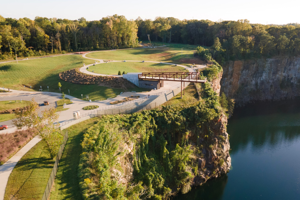
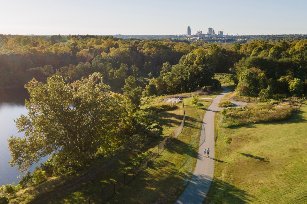
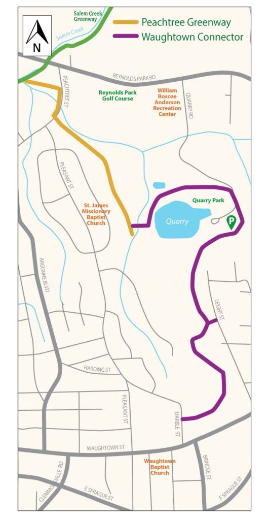
The Waughtown Connector is a paved trail that threads through the Quarry at Grant Park with winding paths and impressive views of the quarry. The overlooks offer a striking natural backdrop that gives this trail a destination feel. The Connector itself is 1.55 miles long, with an additional 0.2 miles if you add in the park’s Quarry Walking Path. The route can be extended farther via the adjoining Peachtree Greenway (0.75 miles), which branches off from the main spine of the city’s greenway network, the Salem Creek Greenway.
Trail Connections: The Waughtown Connector and Peachtree Greenway link the Waughtown area to the Salem Creek Greenway, providing easy access to both Reynolds Park and the Quarry at Grant Park along the way.
Parking: Public parking is available at the Quarry at Grant Park or on-street at Peachtree Street or Marble Street when available.
Entrances:
- Peachtree Street Trailhead: Near the intersection of Peachtree Street and Pleasant Street
- Quarry at Grant Park Trailhead: 1790 Quarry Rd, Winston-Salem, NC 27107
- Marble Street Trailhead: South of the intersection of Harding Street and Marble Street
- Location: Winston-Salem
- Distance: 1.9 miles
- Surface: Paved
- Highlights: Scenic Quarry
- Amenities: Restrooms available at the Quarry at Grant Park.
Bowen Blvd./Hansel B. Thomas Park Path
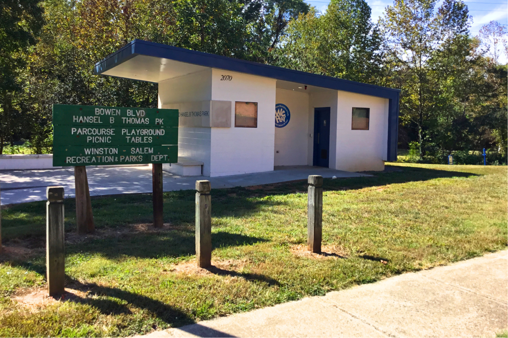
This paved loop winds through Hansel B. Thomas Park alongside Brushy Fork Creek, offering a peaceful setting. With open green space and a quiet neighborhood feel, it’s a convenient spot for a short stroll or bike ride.
Trail Connections: The Bowen Blvd./Hansel B. Thomas Park Path connects to surrounding neighborhood streets along Bowen Boulevard, providing easy access for nearby residents and linking the park to the local community.
Parking: Hansel B. Thomas Park: 1201 Bowen Boulevard, Winston-Salem, NC 27105
- Location: Winston-Salem
- Distance: 1-mile loop
- Surface: Paved
- Highlights: Park & Creek
- Amenities: Restrooms available at Hansel B. Thomas Park.
Bowen Branch Trail
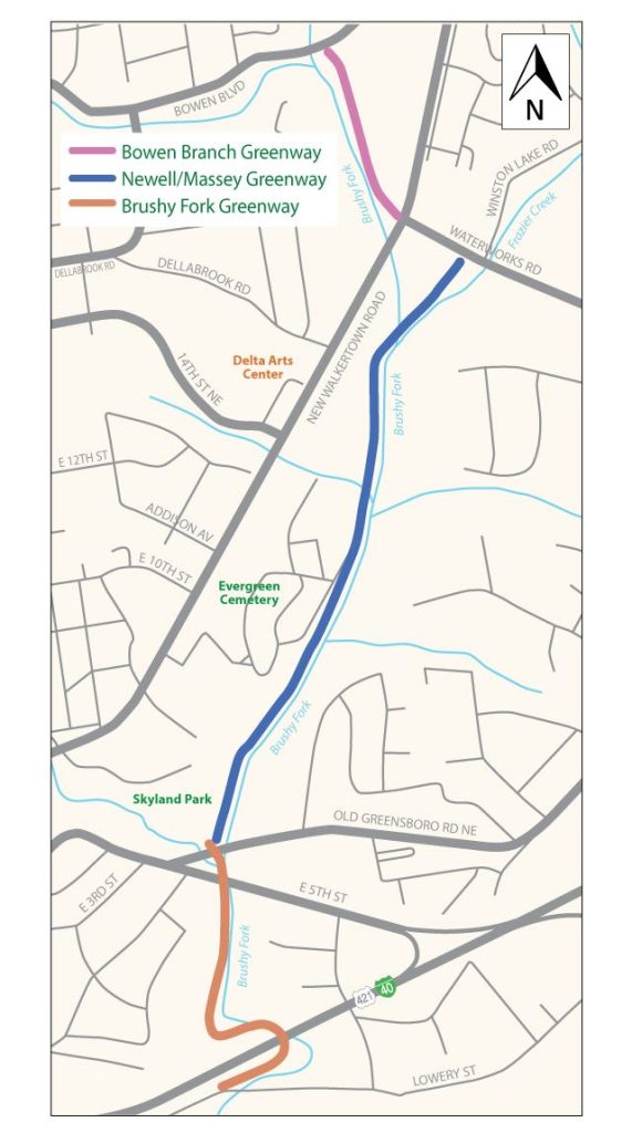
The Bowen Branch Trail is a short, shaded greenway that winds through quiet neighborhoods and is a popular connection point to the Newell/Massey Greenway.
Trail Connections: Sidewalks link Bowen Branch Trail to the Newell/Massey Greenway and the Bowen Blvd./Hansel B. Thomas Park Path, providing access to nearby parks and additional trail routes. The greenway itself runs from Bowen Blvd. to US-311 (New Walkertown Road), where sidewalks continue the connection to various neighborhoods and commercial centers.
Parking: Hansel B. Thomas Park: 1201 Bowen Boulevard, Winston-Salem, NC 27105
- Location: Winston-Salem
- Distance: 0.3 miles
- Surface: Paved
- Highlights: Quiet Neighborhood
- Amenities: Restrooms available at nearby Hansel B. Thomas Park.
Newell/Massey Greenway / Brushy Fork Greenway
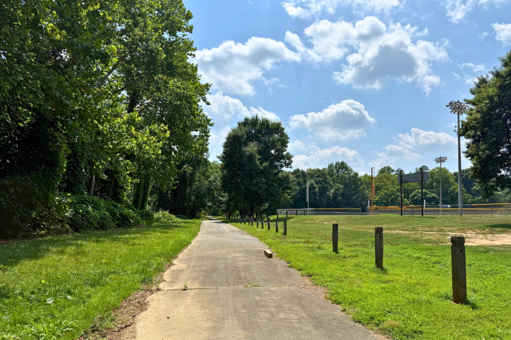
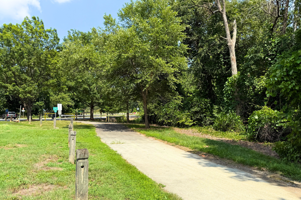
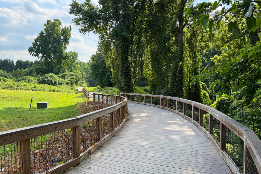
The Newell/Massey Greenway and Brushy Fork Greenway form a continuous, 1.8-mile paved route on the east side of Winston-Salem. Together, the connected greenways wind through quiet wooded corridors and open green spaces, making them a popular destination for walking, running, and biking. Beginning at Winston Lake, the Newell/Massey Greenway travels south before seamlessly connecting to the Brushy Fork Greenway at Skyland Park. From there, the route continues through a mostly shaded forested corridor alongside Brushy Fork Creek before ending at Lowery Street. Future extensions of Brushy Fork Greenway will continue south along Brushy Fork Creek to Reynolds Park Road, where bicyclists will be able to make a road connection to the Salem Creek Greenway.
Trail Connections: Together, the greenways connect Winston Lake, Skyland Park, Old Greensboro Road, and Lowery Street. They also connect to Bowen Branch Trail (via sidewalks), nearby streets, and local parks, making it easy to explore more of Winston-Salem’s trail network.
Parking: Public parking is available at the Waterworks Road Trailhead off Waterworks Road. There is no public parking at the Old Greensboro Road Trailhead.
Entrances:
- Waterworks Road Trailhead: Winston Lake Rd & Waterworks Rd, Winston-Salem, NC 27101
- Old Greensboro Road Trailhead: Old Greensboro Rd & E 5th St, Winston-Salem, NC 27101
- Location: Winston-Salem
- Distance: 1.8 miles
- Surface: Paved
- Highlights: Trees, Bridge & Creek
- Amenities: No public restrooms.
Brushy Fork Greenway
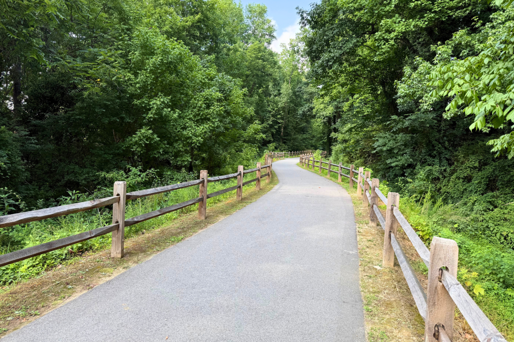
Brushy Fork Greenway is a short but scenic trail that winds through a forested corridor along Brushy Fork Creek. This is a mostly-shaded, paved path that begins at Skyland Park, where it connects to the Newell/Massey Greenway. The trail continues south for just over half a mile before ending at Lowery Street.
Trail Connections: The greenway links Old Greensboro Road to Lowery Street and connects to the Newell/Massey Greenway. Future extensions will continue south following Brushy Fork Creek and ending at Reynolds Park Rd, where bicyclists can make a road connection to the Salem Creek Greenway.
Parking: No public parking available.
Entrance: Old Greensboro Road Trailhead: Old Greensboro Rd & E 5th St, Winston-Salem, NC 27101
- Location: Winston-Salem
- Distance: 0.55 miles
- Surface: Paved
- Highlights: Bridge & Creek
- Amenities: No public restrooms.
Gateway Commons Greenway
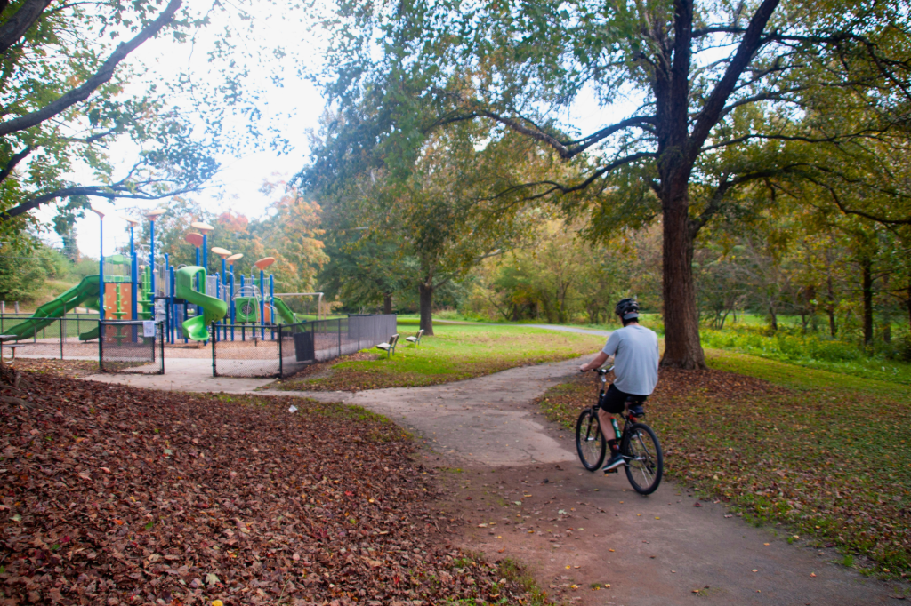
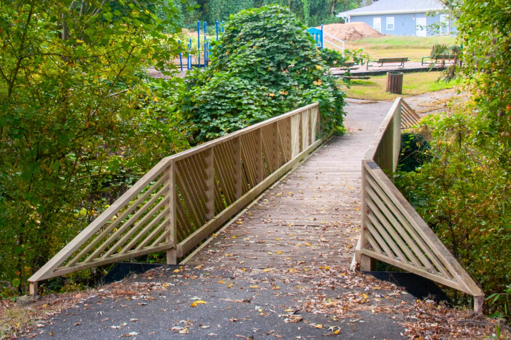
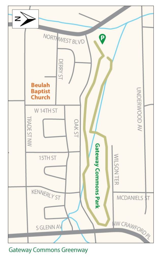
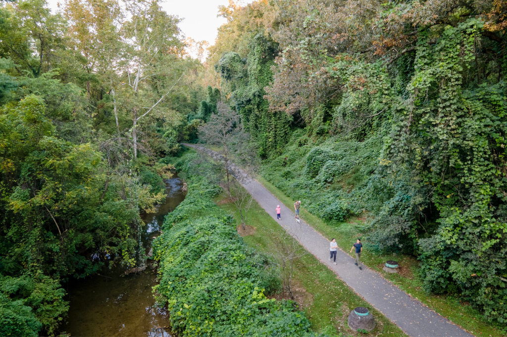
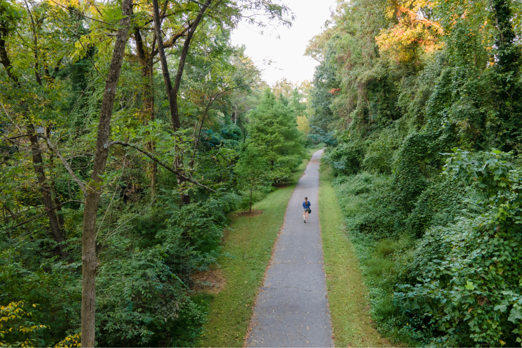
This neighborhood greenway offers a short loop through Gateway Commons Park to the north of downtown Winston-Salem. The park’s playground and picnic shelter make it a popular spot for families in the neighboring communities to spend an afternoon.
Trail Connections: The Gateway Commons Greenway connects to Glenn Avenue, Northwest Boulevard, Kimberley Park, and the Martin Luther King Jr. Community Center, linking nearby neighborhoods to park amenities and community destinations.
Parking: Gateway Commons Park: 1580 Oak Street, Winston-Salem, NC 27101
- Location: Winston-Salem
- Distance: 0.8-mile loop
- Surface: Paved
- Highlights: Playground & Picnic Shelter
- Amenities: No public restrooms.
Silas Creek Greenway
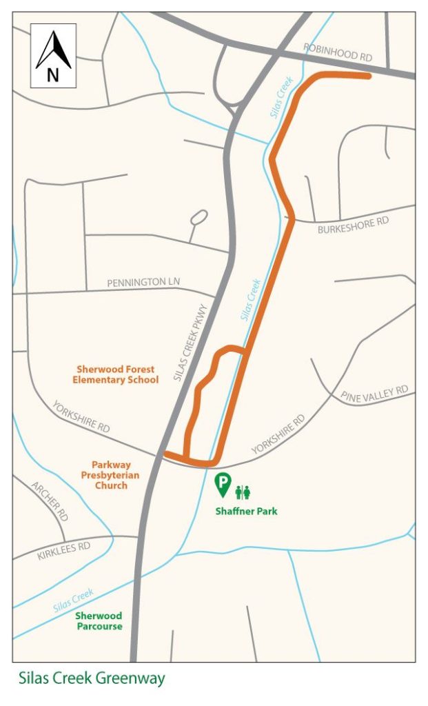
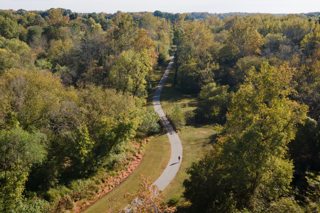
Silas Creek Greenway offers a short path from Shaffner Park to Robinhood Road. Following Silas Creek through a wooded corridor, the trail provides a mix of gentle terrain and a quiet setting, with the option for a shorter loop on the southern end.
Trail Connections: The Silas Creek Greenway runs from Shaffner Park to Robinhood Road and nearby neighborhood streets, providing convenient access to park amenities and surrounding residential areas.
Parking: Public parking is available at Shaffner Park trailhead. Private parking may be available at nearby destinations.
Entrances:
- Shaffner Park Trailhead: 900 Yorkshire Road, Winston-Salem, NC 27104
- Robinhood Road Trailhead: Off Robinhood Road.
- Location: Winston-Salem
- Distance: 0.7 miles
- Surface: Paved
- Highlights: Park, Trees, Stream
- Amenities: Restrooms available at Shaffner Park.
Little Creek Greenway
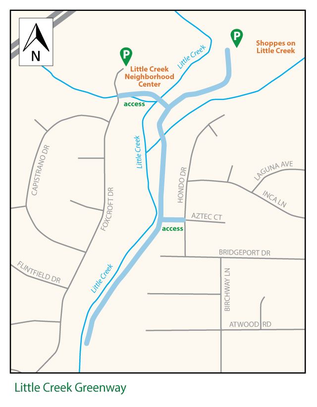
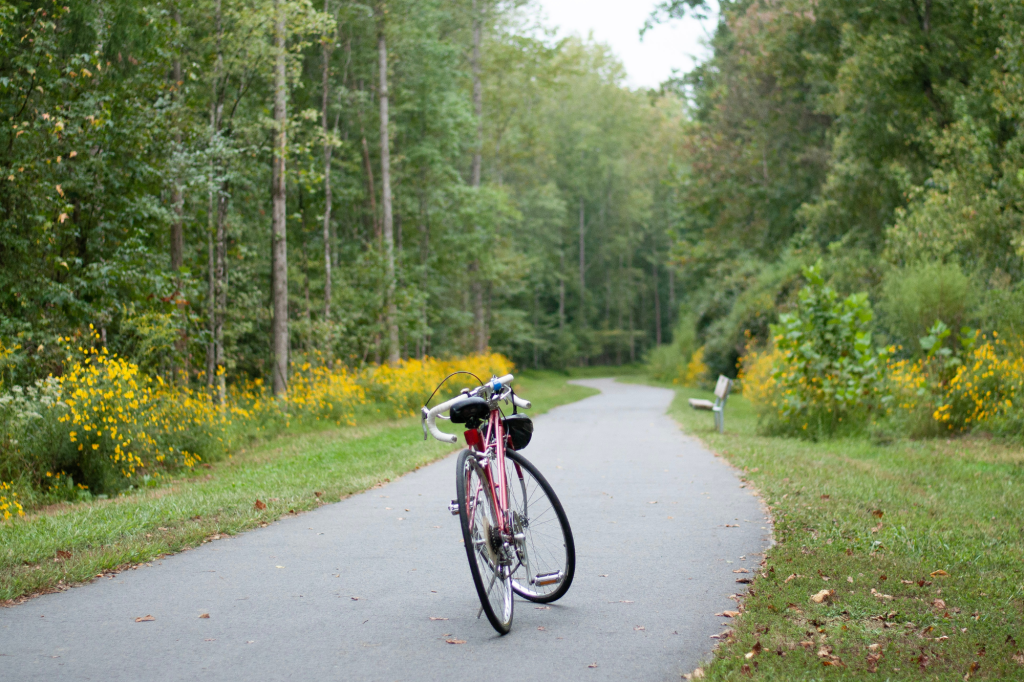
Little Creek Greenway follows Little Creek along a short, paved route connecting a popular commercial center to nearby residential areas. With natural scenery and public parks along the way, it offers a serene setting for quick outings or trips between local neighborhoods.
Trail Connections: The Little Creek Greenway links the Shoppes on Little Creek shopping center with Little Creek Park and Recreation Center, while also providing connections to surrounding neighborhoods to the south and west.
Parking: Public parking is available at Little Creek Park trailhead. Private parking may be available at nearby destinations.
Entrances:
- Shoppes on Little Creek Trailhead: Creekshire Way, Winston-Salem, NC 27103 (Adjacent to the Hilton Garden Inn)
- Little Creek Park Trailhead: 610 Foxcroft Drive, Winston-Salem, NC 27103
- Location: Winston-Salem
- Distance: 0.6 miles
- Surface: Paved
- Highlights: Parks & Creek
- Amenities: No public restrooms.
Muddy Creek Greenway
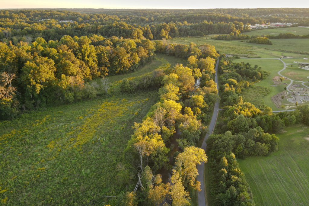
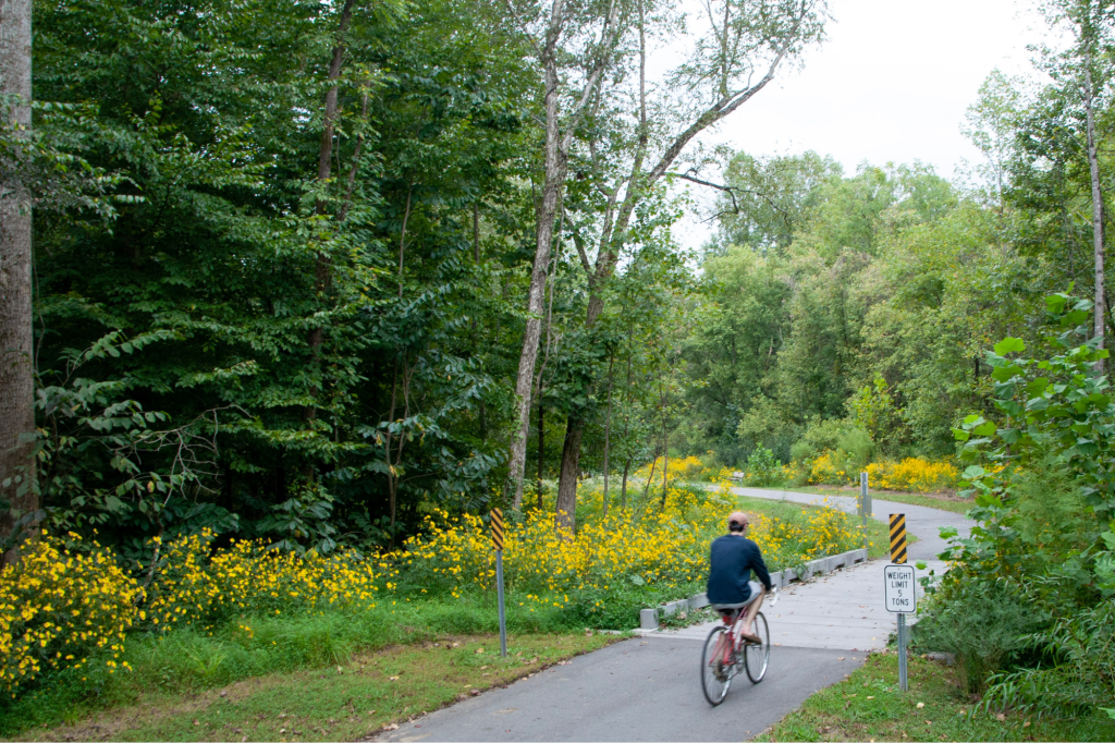
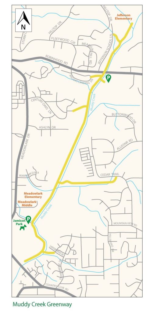
Muddy Creek Greenway stretches nearly three miles along Muddy Creek through a mix of wooded areas and open park space. Beginning just north of Country Club Road, the trail cuts through the popular Jamison Park, travels under Robinhood Road, and continues to the Summerfield neighborhood. The scenic creekside setting and mostly flat terrain make it a popular destination for walkers, runners, and bikers alike. Along the route, you can enjoy an art installation created by a local artist to highlight some of the native plants and animals in the area.
Trail Connections: The Muddy Creek Greenway extends northeast from Country Club Road past Robinhood Road toward Jefferson Elementary School. The route passes through Jamison Park with connections to five neighborhoods and three schools along the way.
Parking: Public parking is available off Jefferson School Lane, off Robinhood Road, and at Jamison Park.
Entrances:
- Jamison Park Trailhead: 285 Meadowlark Drive, Winston-Salem, NC 27106
- Robinhood Rd. Trailhead: 4600 Robinhood Rd, Winston-Salem, NC 27106
- Jefferson Elementary School Trailhead: Off Jefferson School Lane
- Neighborhood entrances in Brookberry Park, Sherwood Forest, Century Oaks, and Brooks Landing
- Location: Winston-Salem
- Distance: 2.9 miles
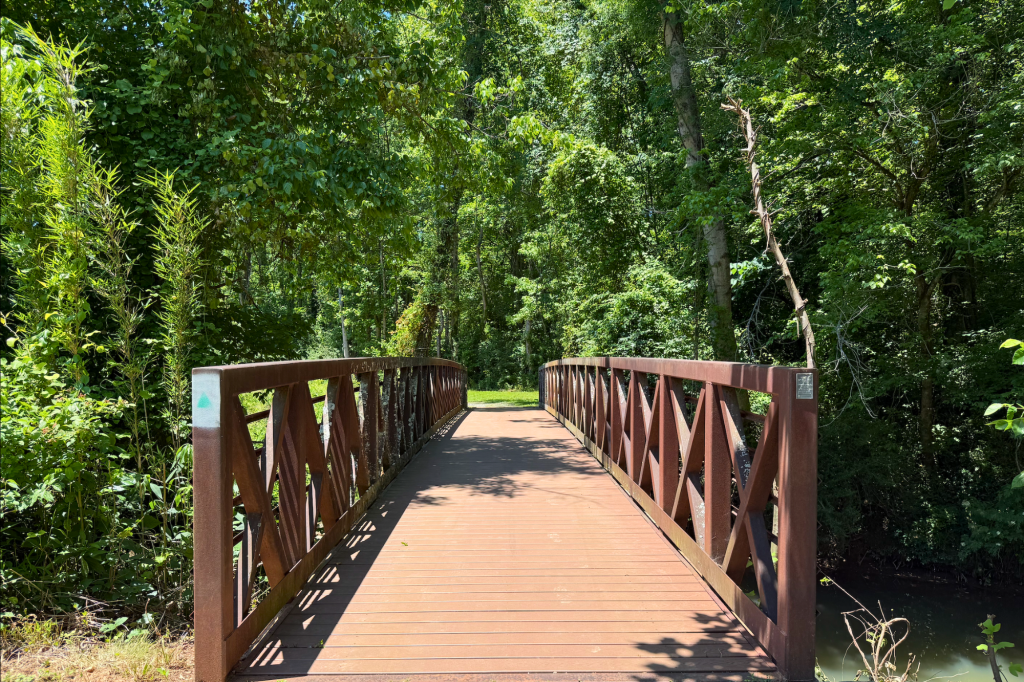
- Surface: Paved (with boardwalk bridge)
- Highlights: Creek & Art Installation
- Amenities: Restrooms available at Jamison Park.
Bethabara Greenway
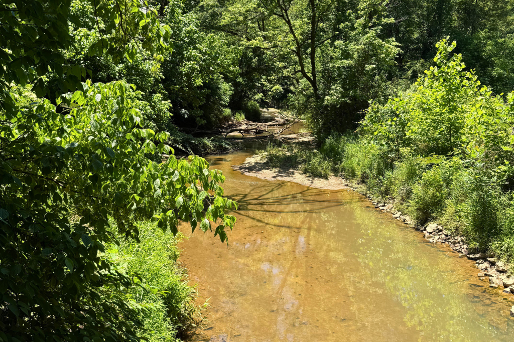
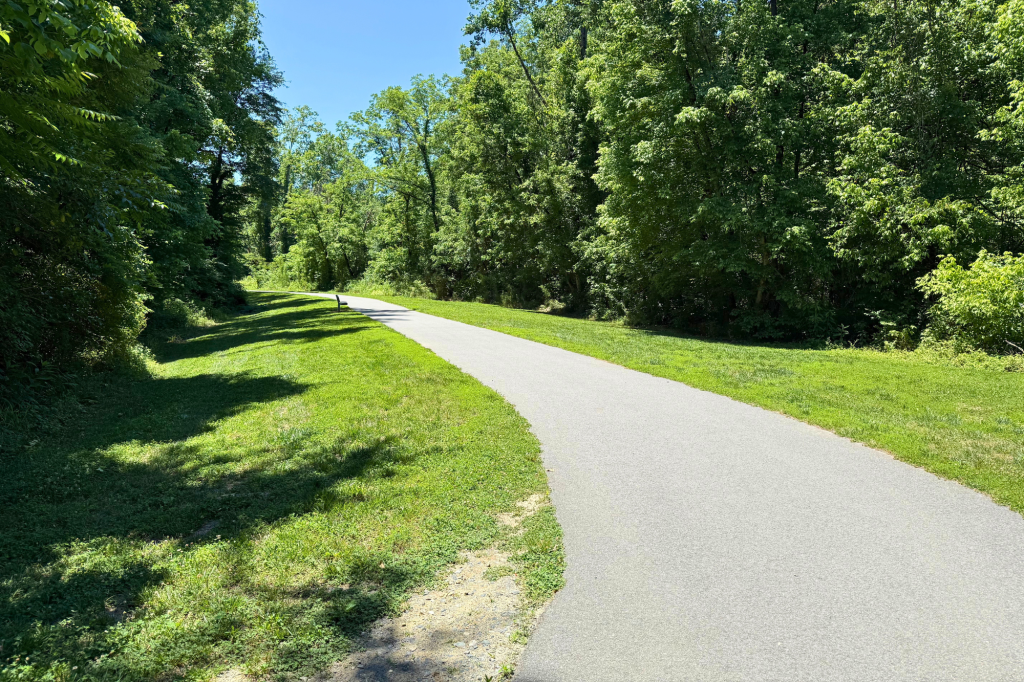
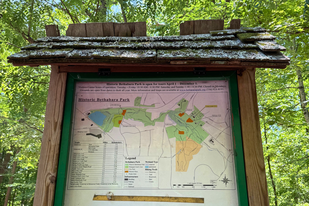
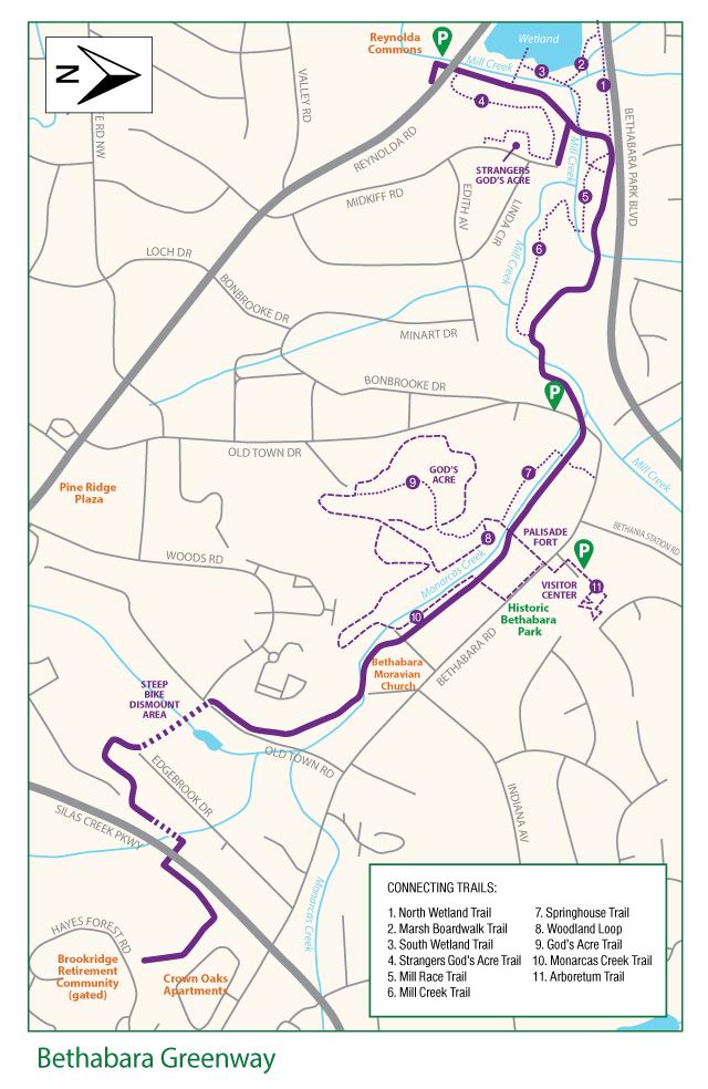
This greenway winds through the historic landscape of Bethabara Park, following the paths of Mill and Minorcas Creeks and offering a paved and gravel route for walking and biking alongside wooded areas and open fields. If you park at the visitors center, head east to see some historic structures and learn about the area’s Moravian roots as you explore. To the west, adjoining wetland trails offer a scenic marsh setting with boardwalk overlooks.
Trail Connections: The Bethabara Trail begins at the Reynolda Commons shopping center, crossing Old Town Road and under Silas Creek Parkway to nearby residential areas. It extends throughout Bethabara Park with access to additional unpaved trails and historic sites along the route.
Parking: Historic Bethabara Park: 2147 Bethabara Road, Winston-Salem, NC 27106
Entrances:
- Old Town Road Trailhead: 1424 Old Town Rd, Winston-Salem, NC 27106
- Bethabara Park Trailhead: Off Old Town Drive
- Location: Winston-Salem
- Distance: 2.7 miles
- Surface: Partially paved (certain areas are inaccessible for bikes and strollers).
- Highlights: Historic Sites & Creeks
- Amenities: Restrooms available within historic Bethabara.
Future Segment of the Piedmont Greenway
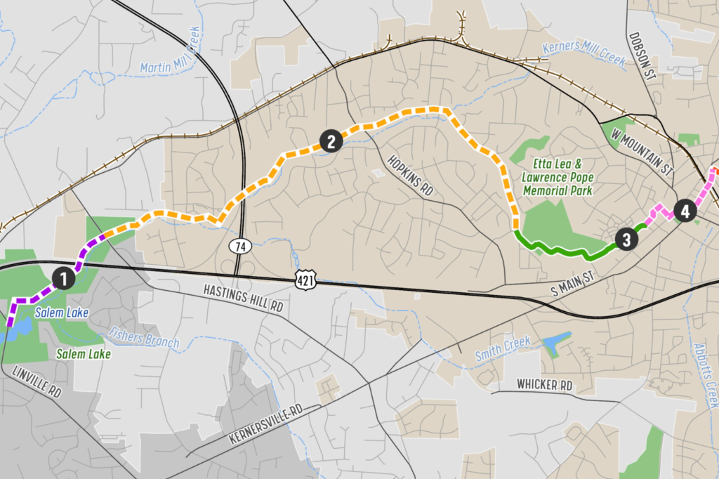
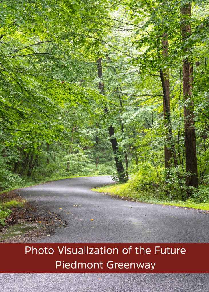
This planned segment of the Piedmont Greenway will begin at Salem Lake, passing beneath Salem Parkway to connect the beloved Salem Lake Trail in Winston-Salem to East Forsyth High School in Kernersville.
Trail Connections: This segment of the Piedmont Greenway will extend the existing connection between Salem Lake and the Salem Creek Greenway, creating the first alternative transportation route from Winston-Salem to Kernersville and enhancing access to nearby communities and destinations.
Parking: Public parking available at the Salem Lake Trailhead.
Entrances:
- Salem Lake Linville Road Trailhead:Linville Rd SE, Winston-Salem, NC 27107
- East Forsyth High School: 2500 W Mountain St, Kernersville, NC 27284
- Location: Winston-Salem
- Distance: 1.3 miles
- Surface: Planned Paved Greenway
- Highlights: Lake Connection
- Amenities: Public restrooms available at the Salem Lake Trailhead.
Clemmons Greenways
Village Point Greenway
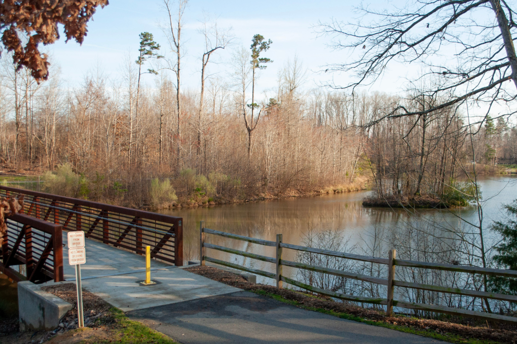
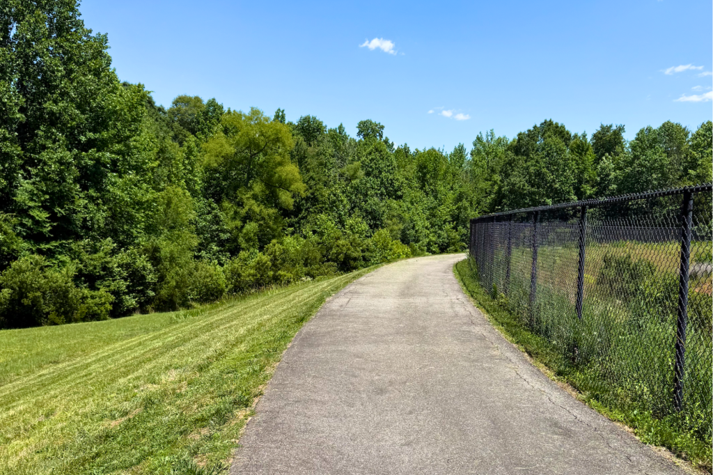
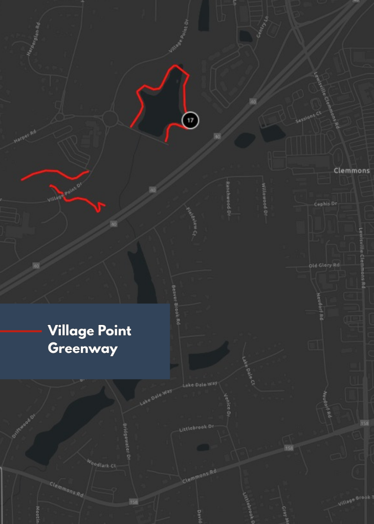
Village Point Greenway features a short network of paved paths around Village Point Lake, with additional segments near Morgan Elementary School and the nearby Novant Medical Center. The trail offers an easy route for walking and biking with open views of the water and nearby green space.
Trail Connections: The Village Point Greenway connects neighborhoods around Village Point Lake to the local elementary school and medical center.
Parking: Limited accessible parking is available at the Village Point Lake Trailhead. Additional parking is available at the Medical Center Trailhead.
Entrances:
- Village Point Lake Trailhead: 6610 Village Point Lake Drive, Clemmons, NC 27012
- Medical Center Segment: Village Point Drive and Village Medical Drive, Clemmons, NC 27012
- Frank Morgan Elementary School Segment: 3210 Village Point Drive, Clemmons, NC 27012
- Location: Clemmons
- Distance: 0.7 miles
- Surface: Paved
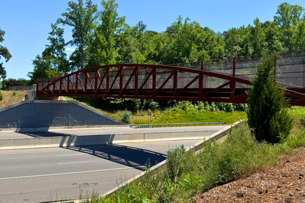
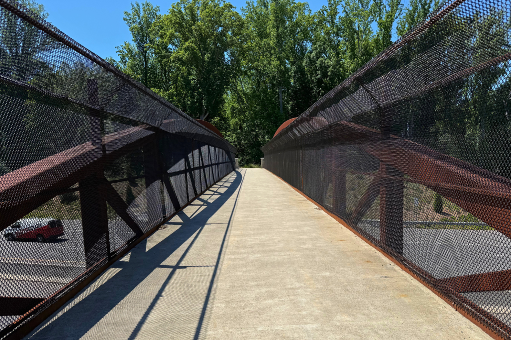
- Highlights: Lake & Bridges
- Amenities: No public restrooms.
Bermuda Run Greenways
Blue Heron Trail
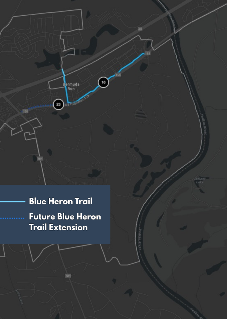
Beginning at Twins Way, this paved trail follows Clemmons Road before turning north and passing beneath I-40 toward the Kinderton Village neighborhood. The pedestrian bridge at the other end of the trail crosses I-40 again, connecting popular sports complexes to the much-loved Winmock Barn and other commercial destinations. The route offers a mostly flat, convenient option for walking and biking, with a mix of roadside and greenway-style segments.
Trail Connections: The Blue Heron Trail connects the Twins Way area with the Kinderton Village neighborhood, providing access to nearby residential areas and commercial areas.
Parking: Public parking is available at the Twins Way Trailhead: Twins Way, Bermuda Run, NC 27006
- Location: Bermuda Run
- Distance: 1 mile
- Surface: Partially Paved
- Highlights: Creek & Park
- Amenities: No public restrooms.