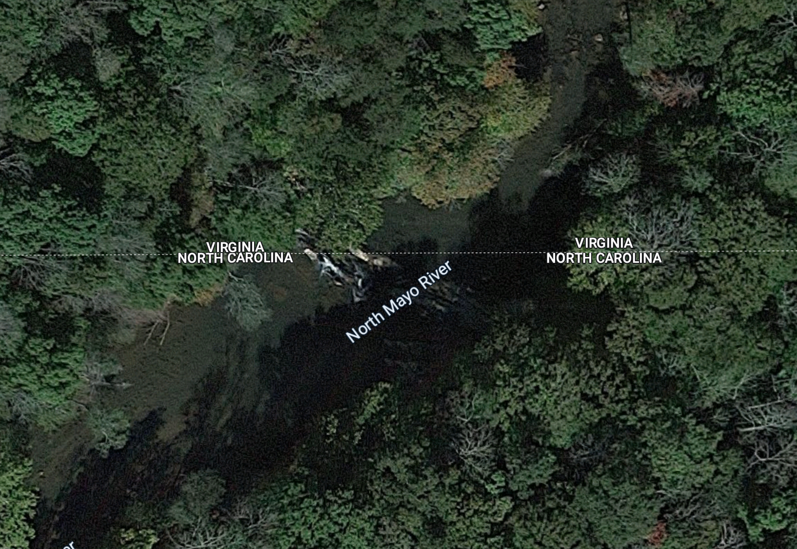
Put in: NC 135 Bridge: 36.4073, -79.9650
Take out: Jacobs Creek Batteau: 36.3897, -79.8883
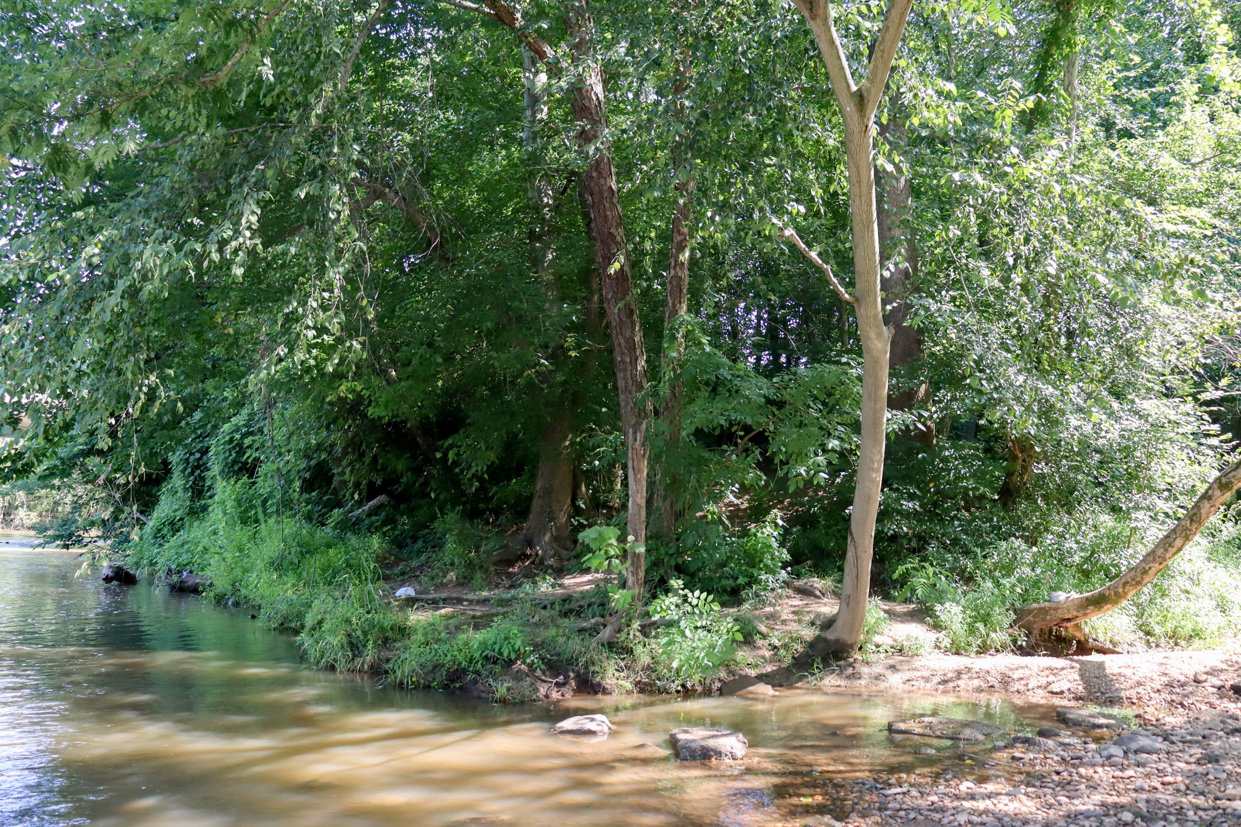
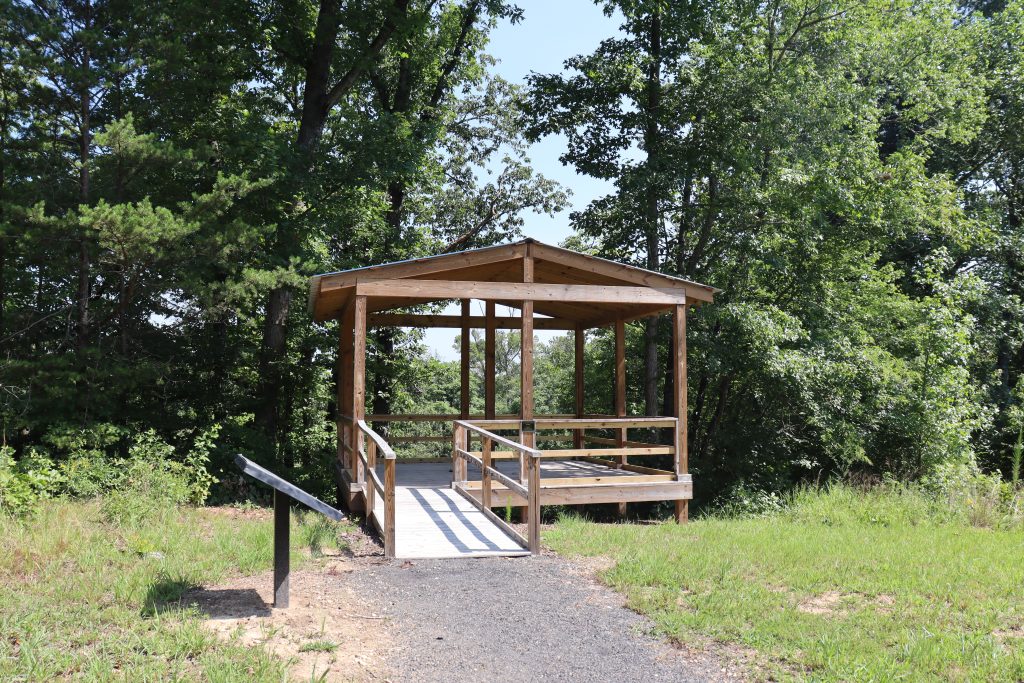
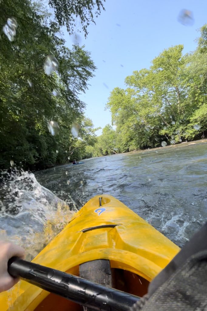
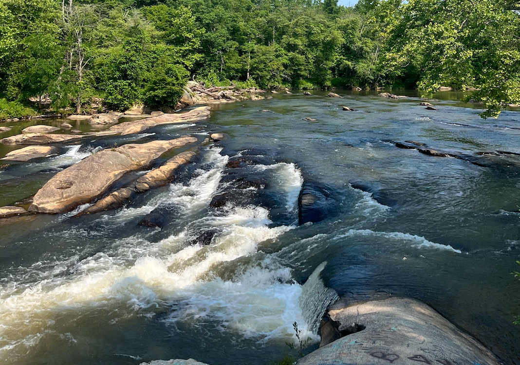
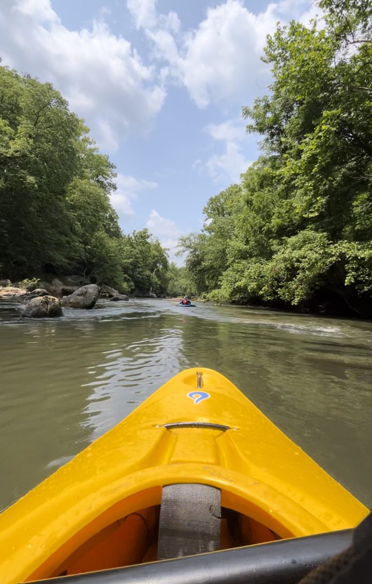
Start your paddle on the Mayo River and end on the Dan River! This route will merge with the Dan around 1.5 miles in. This paddle can be done in a canoe or kayak. Consider bringing a picnic so that you can pull off onto one of the sandy banks along the route. It will make a great stretch break, sunscreen reapplication, and picnic! Along this paddle you can see wing dams, shoals, a large island, and the remains of the old batteau navigation system! This paddle is a great opportunity to educate your kiddos about the history in the piedmont. We always reccommend checking out the put in and take out to know what landmarks you will be looking for when you exit the river. Learn more here!