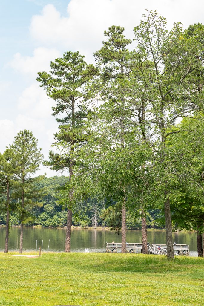
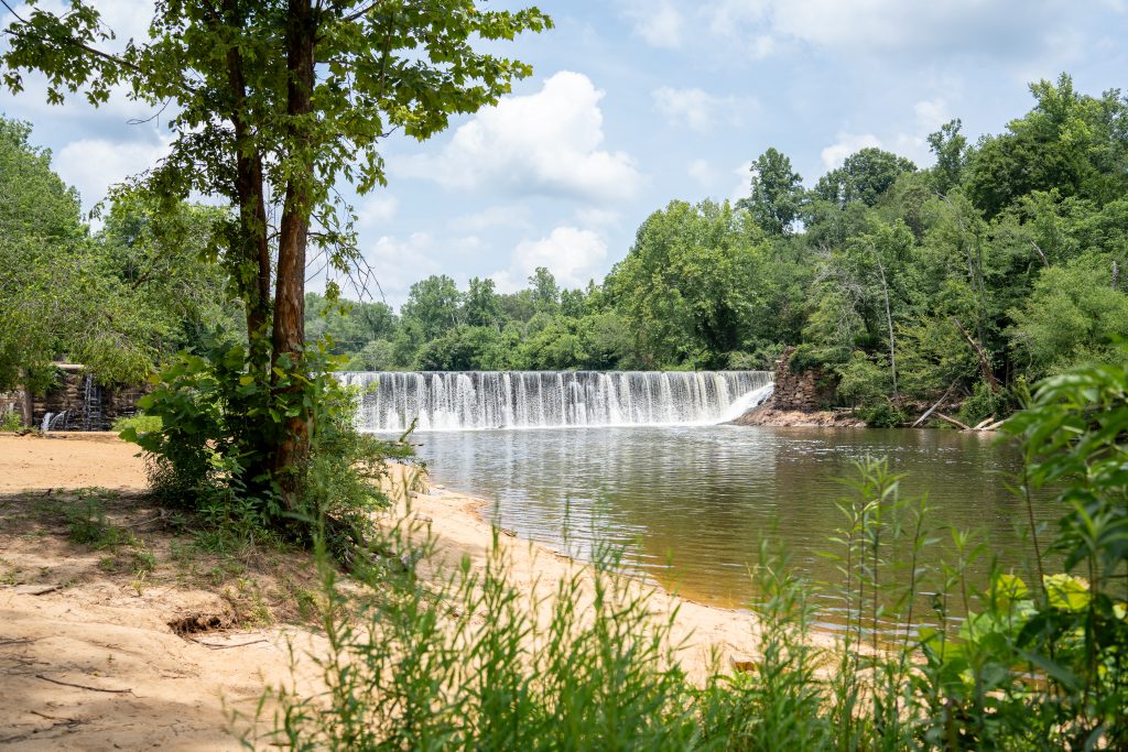
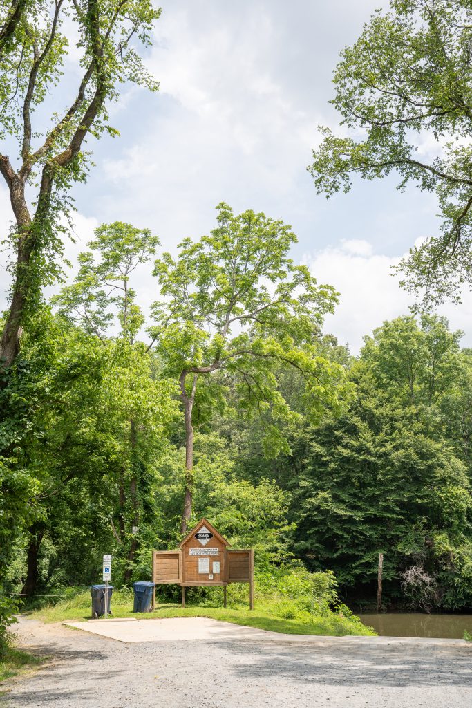
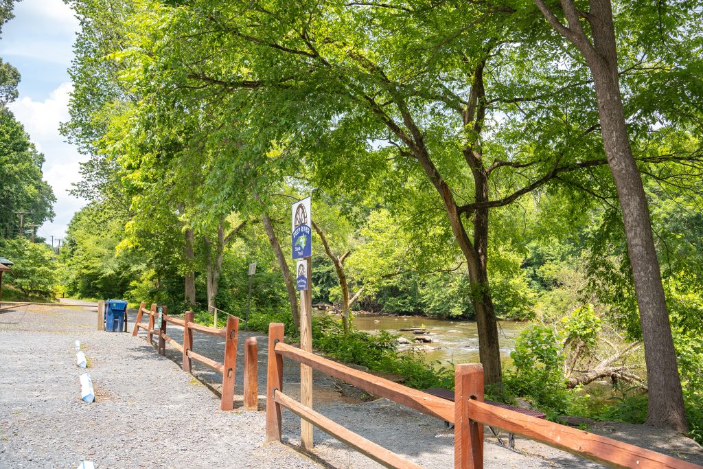
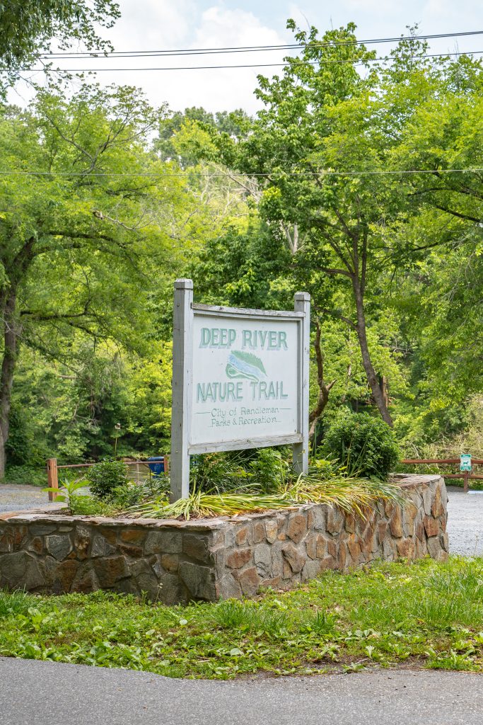
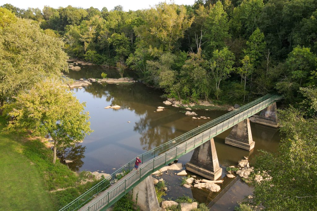
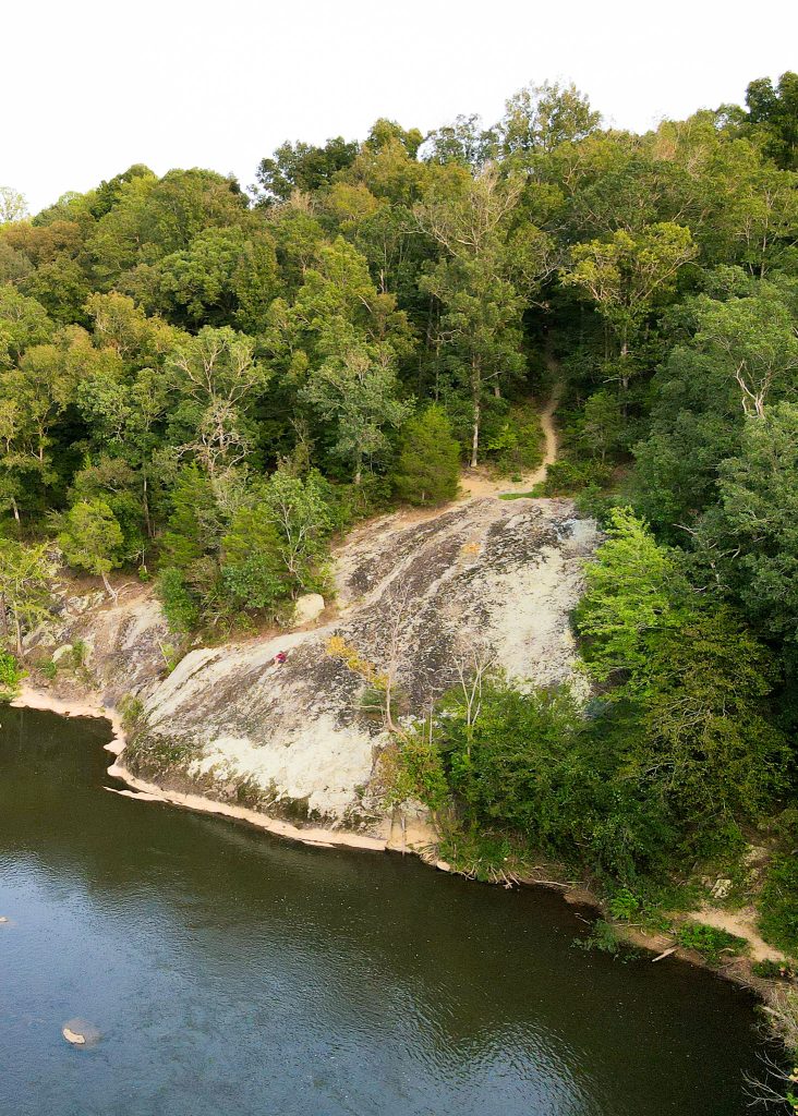
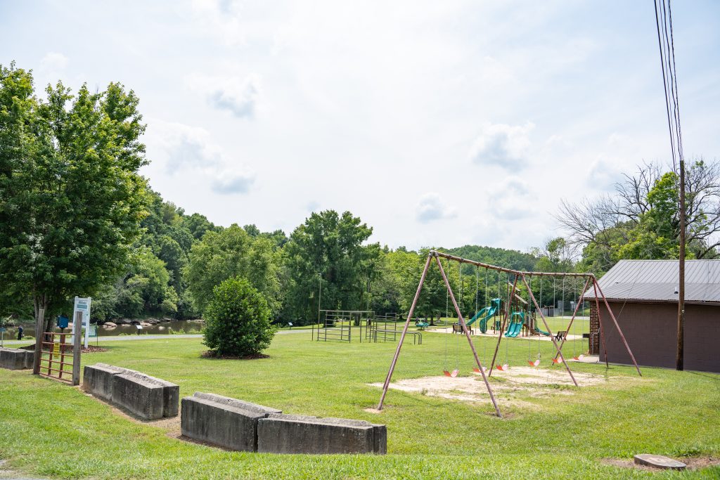
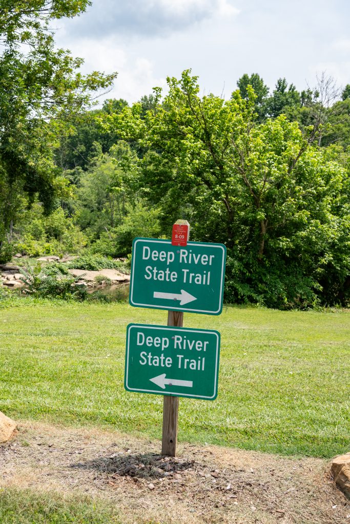
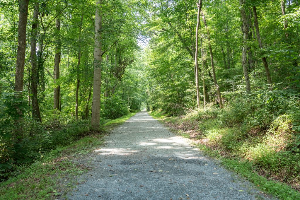
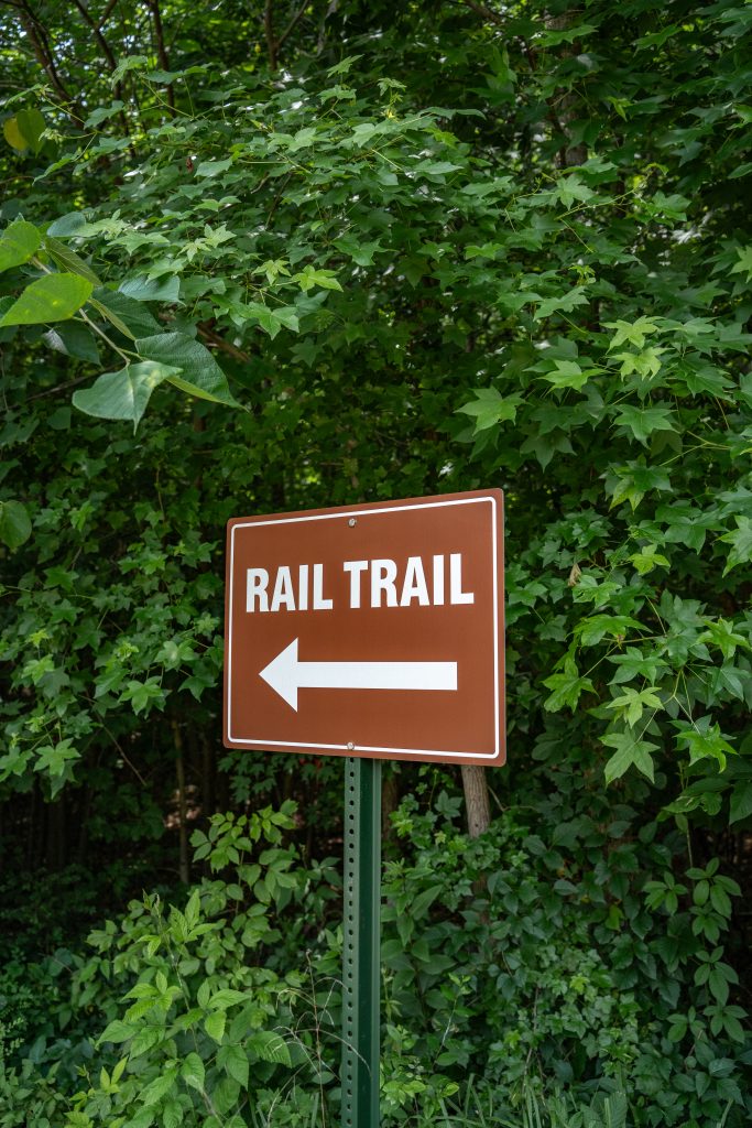
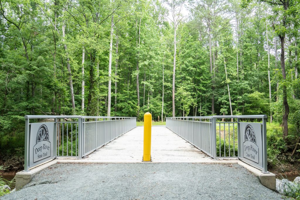
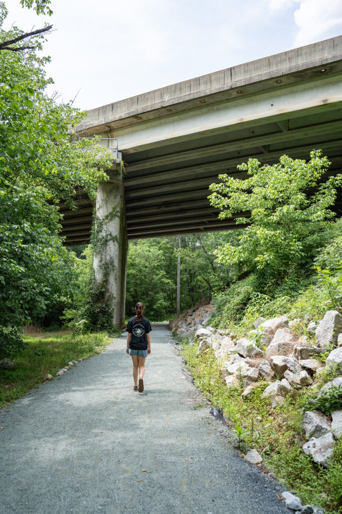
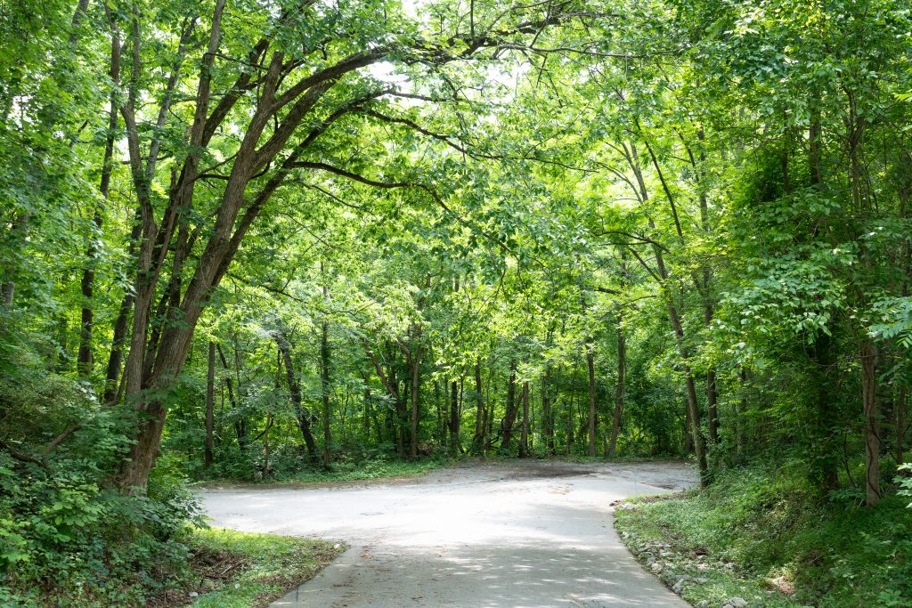
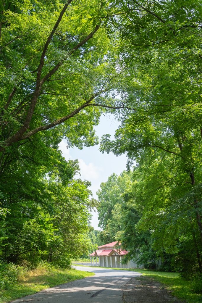
Winding through the scenic heart of Randolph County, the Deep River State Trail invites you to explore North Carolina’s natural beauty and rich history. Built mostly along the path of the former Atlantic & Yadkin Railroad, this developing trail offers peaceful river views and a glimpse into the region’s industrial past. Perfect for walking, biking, or simply enjoying the outdoors, it’s a recreational journey the whole family can enjoy.
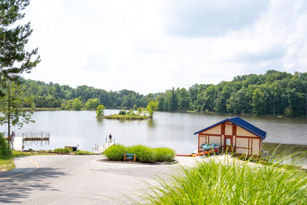
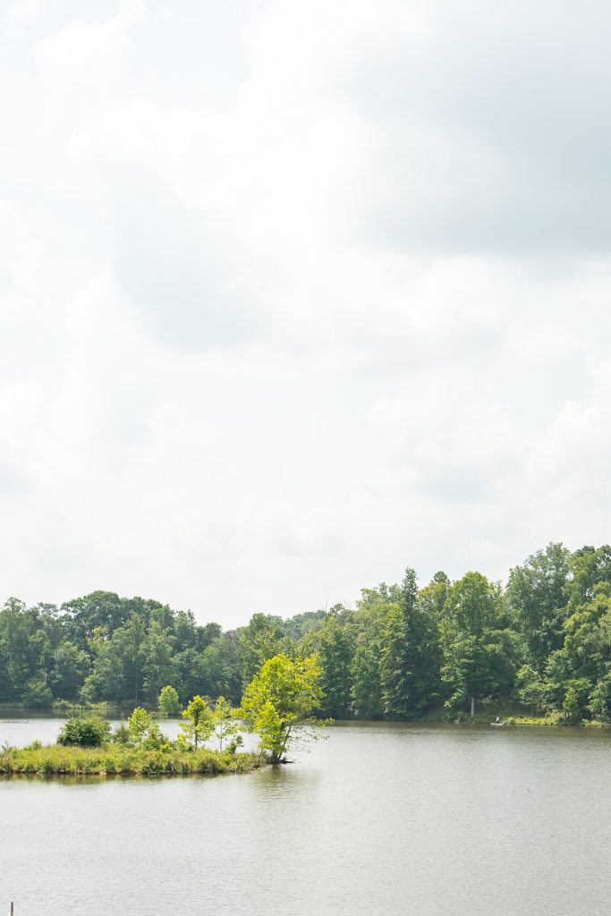
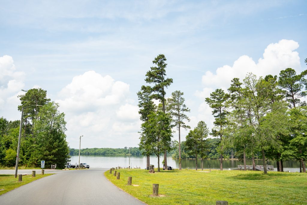
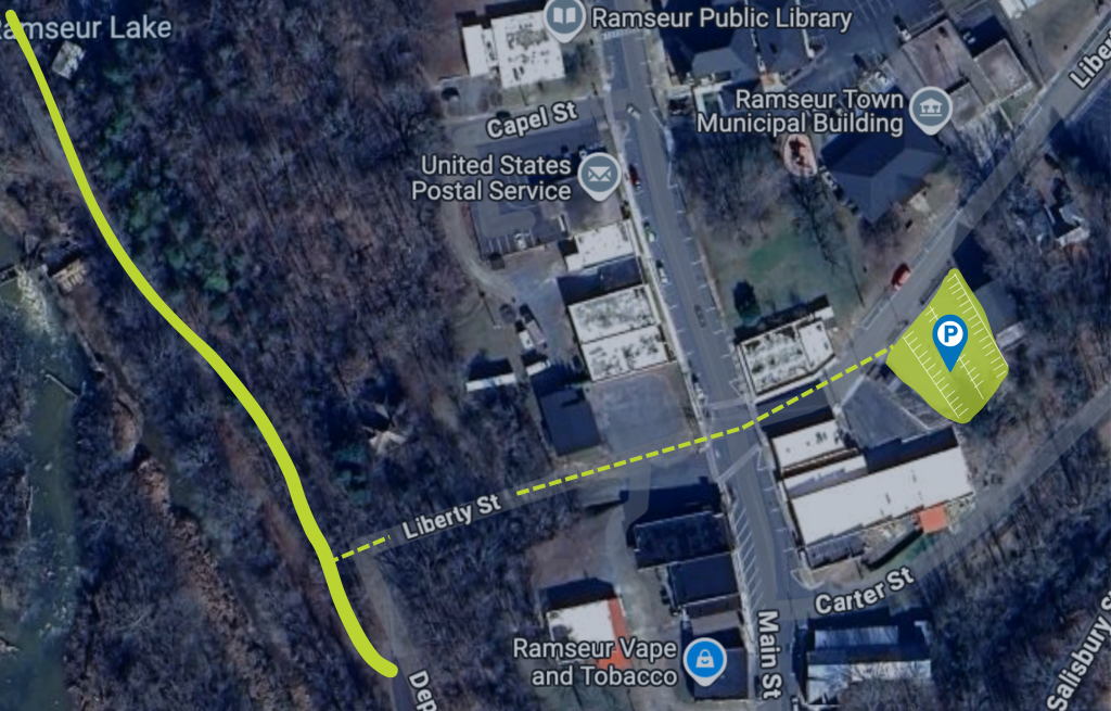
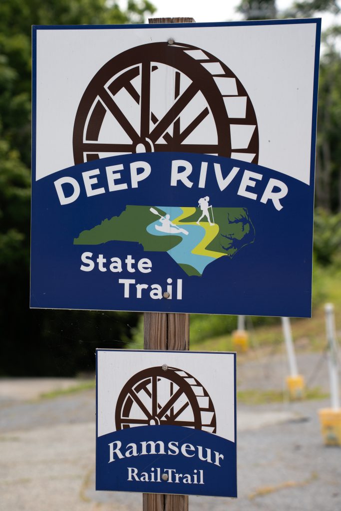
When complete, the Deep River State Trail will stretch 125 miles as both land and paddle trail, from the river’s headwaters in High Point to its confluence with the Haw River. While the full trail is still in progress, land and paddle sections are open in Randolph County—Randleman, Franklinville, and Ramseur—as well as paddle access in Moore, Lee, and Chatham Counties. Ongoing construction projects, including bridges and new access points, will continue expanding and connecting the trail. Stay tuned for exciting updates!