TRAILS IN ROCO
ROCKINGHAM COUNTY
Rockingham County is an outdoor lover’s paradise, offering an exciting mix of scenic trails, rich history, and unbeatable water access.Whether you’re hiking through lush forests, exploring historic landmarks, or paddling along winding rivers, there’s no shortage of adventure.
From the rolling hills of Chinqua-Penn Walking Trail to the scenic views of Lake Reidsville, Rockingham County’s trails showcase the best of the Piedmont’s natural beauty. Whether you’re hiking, biking, or just soaking in the fresh air, get ready to discover why RoCo rocks!
READY TO EXPLORE?
STATE PARKS
Mayo River State Park | Mayo Mountain Access

Take your pick of the 3 trail opportunities to joy a peaceful and quiet walk in the woods starting from the Mayo Mountain Access, one of three accesses at Mayo River State Park.
Mayo Mountain Loop Trail | 2 Miles, Easy – This trail is a tranquil loop with sights of a creek and rock outcroppings.
Mayo Mountain Inner Loop Trail | 0.5 Mile, Easy – This trail is a smaller loop on the inside of the Mayo Mountain Loop.
Fox Trail | 1.8 Miles, Easy – This trail winds through the woods with one street crossing. The trail passes through a field of boulders and vibrant flora and fauna.
- Natural surface trail with many roots and boulders along the way. Short, steep inclines throughout the trail.

- Distance: Multiple
- Type: Loop
- Difficulty: Easy
- Highlights: Boulder Fields, Creeks
Deshazo Mill Access | Mayo River State Park

Enjoy waterfalls, rivers, rapids, beaches, and crossing state lines all from one parking lot! The two trails share a starting trail then split to make a Y shape. The Mayo River Trail heads towards the Viriginia state line, while the Riverwalk Trail heads towards the Mayo Beach. DeShazo Mill is one of three accesses at Mayo River State Park.
Mayo River Trail | 1.3 Miles – After a short 0.2 mile walk you will arrive at Fall Creek Falls. Continue on take a right to walk upstream of the Mayo to reach Byrds Ledge, marking the Virginia State Line indicated by a yellow marker on a tree
Riverwalk Trail | 2 Miles – After passing the Fall Creek Falls, continue on trail. Once you reach the river, take a left at the fork and follow along across Anglin Mill Rd. and all the way until you reach the sandy Mayo Beach.
Read more about this trail and it’s history in our Trail Guide.
- Wide gravel path for about 0.2 miles to stone steps to get down to the falls. The rest of the trail is natural surface and sand.

- Distance: Multiple
- Type: Out-and-Back
- Difficulty: Easy
- Highlights: Fall Creek Falls, State Line, Mayo Beach
Mayo River State Park | Hickory Creek Access

This short trail takes you to confluence to Hickory Creek and the Mayo River. Keep an eye out for Great Blue Herons.
- Natural Surface with roots and minor incline
Haw River State Park | Iron Ore Belt Access

This trail feels like a hug from a forest! The Great Blue Heron Trail winds through wetlands, old farm fields, and mixed hardwood forests. The Iron Ore Pit Trail, within the Great Blue Heron Trail passes by the historic Iron Ore deposits and remnants of an old iron ore mining pit. Starting from the trailhead you must enter through the connector trail, then take the Great Blue Heron Trail Loop. There is an optional section within the loop to check out the Iron Ore Pit Trail. Note: This trailhead is a 10 minute drive away from the Haw River State Park Summit Access.
The trail system includes 3 trails from this trailhead
- Great Blue Heron Loop Trail 3.2 miles
- Connector Trail 0.35 miles
- Iron Ore Pit Trail 0.35 miles
- Accessibility: Natural surface footpath, low elevation change

- Distance: 4 miles
- Type: System
- Difficulty: Moderate
- Highlights: Iron Ore Pit, Wetlands
Haw River State Park | The Summit Access

This section of the park is a birding paradise. If you don’t have the Merlin app, It is definitely worth checking it out so that you can identify what birds are singing all around you – just by their singing! Access the trails behind the conference center, there are multiple entrances through this section of the State Park.
The trail system includes 3 trails from this trailhead
- Lake Loop Trail 0.6 miles
- Piedmont Loop Trail 1.4 miles
- Wetlands Boardwalk 0.4 miles
- Accessibility: Natural surface footpath, few short steep ~4 foot elevation changes over roots

- Distance: 4 miles
- Type: System
- Difficulty: Moderate
- Highlights: Lake, birding, Haw River, Boardwalks
MAYODAN
Farris Memorial Park Mountain Bike Trail

The trail ride takes you through switchbacks, over rock gardens, and small streams. Most of the trail runs through hardwood and mixed pine forest. Bring your own bike – or you can rent a bike for a small fee. There are even youth-sized bikes available! More info here.
- Lots of hills and switchbacks on rocks. Narrow trail for mountain bikes.
Farris Memorial Park Walking Path

This wide gravel path takes you on a loop around the lake at Farris Memorial Park. This is one of two trails at Farris Memorial Park. Bikes allowed.
- Wide flat gravel path around the lake
STONEVILLE
Stoneville Memorial Park

Priddy Dr, Stoneville, NC 27048
This park is equipped with ballfields, and a partially paved walking trail. There is plenty of parking at the trailhead, with lots of shade along the trail.
- Accessibility: Paved near the ballfields
REIDSVILLE
Chinqua-Penn Walking Trail

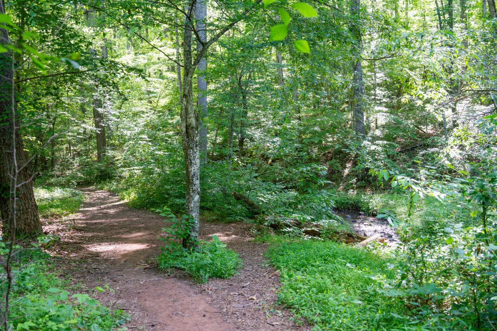
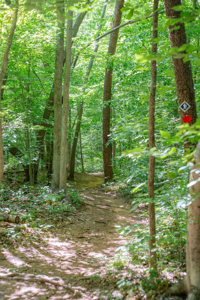
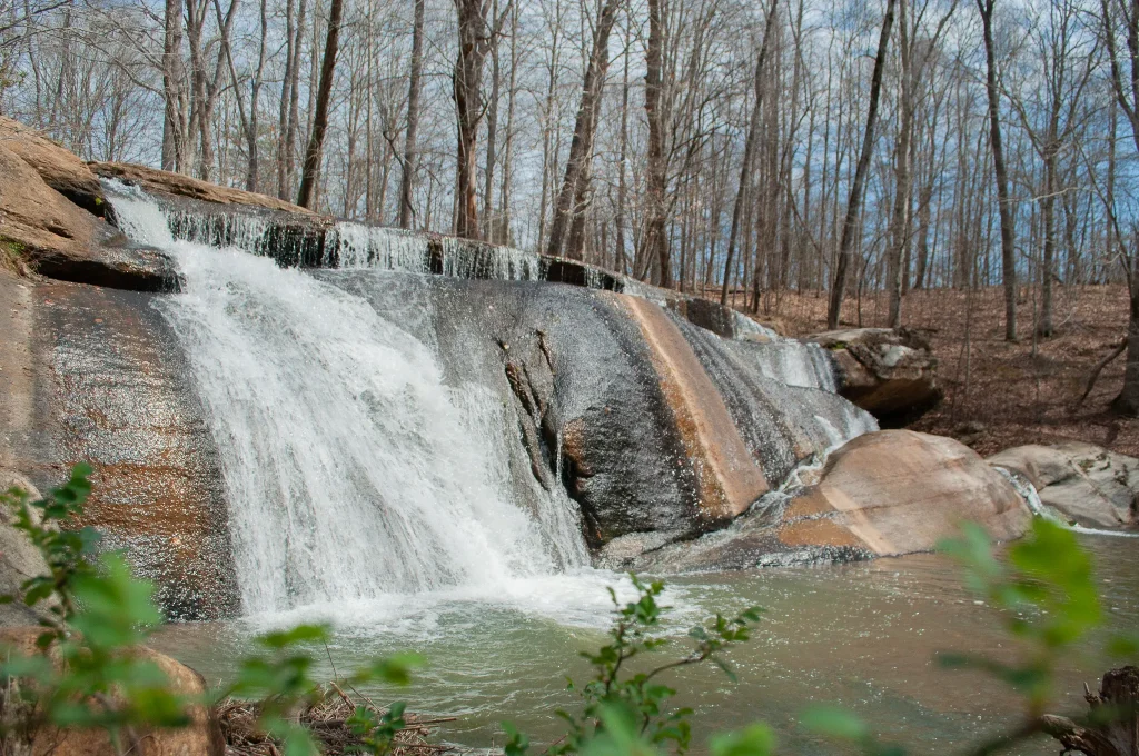
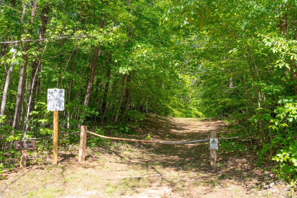
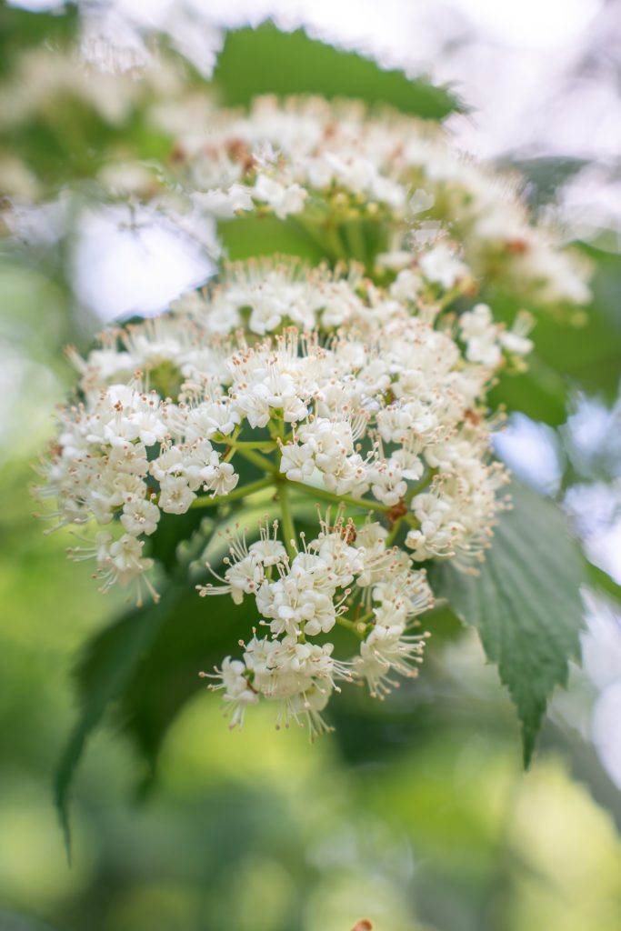
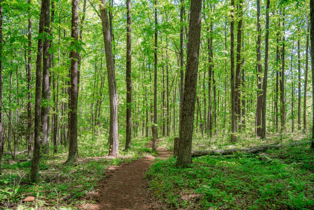
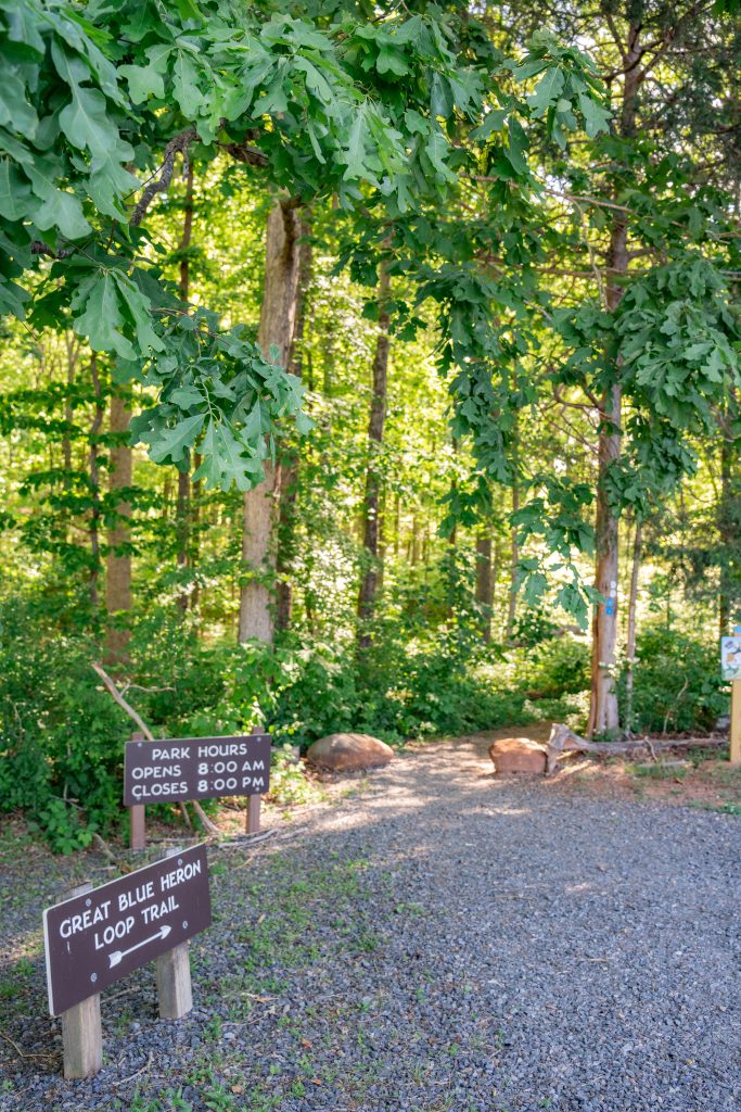
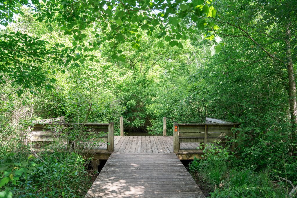
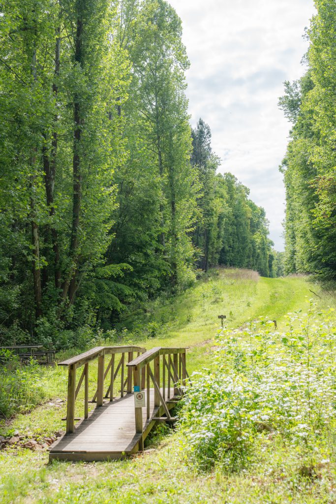
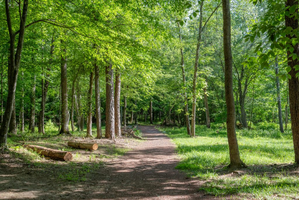
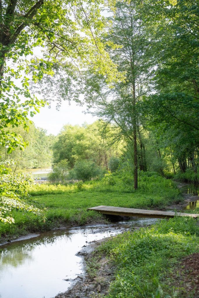
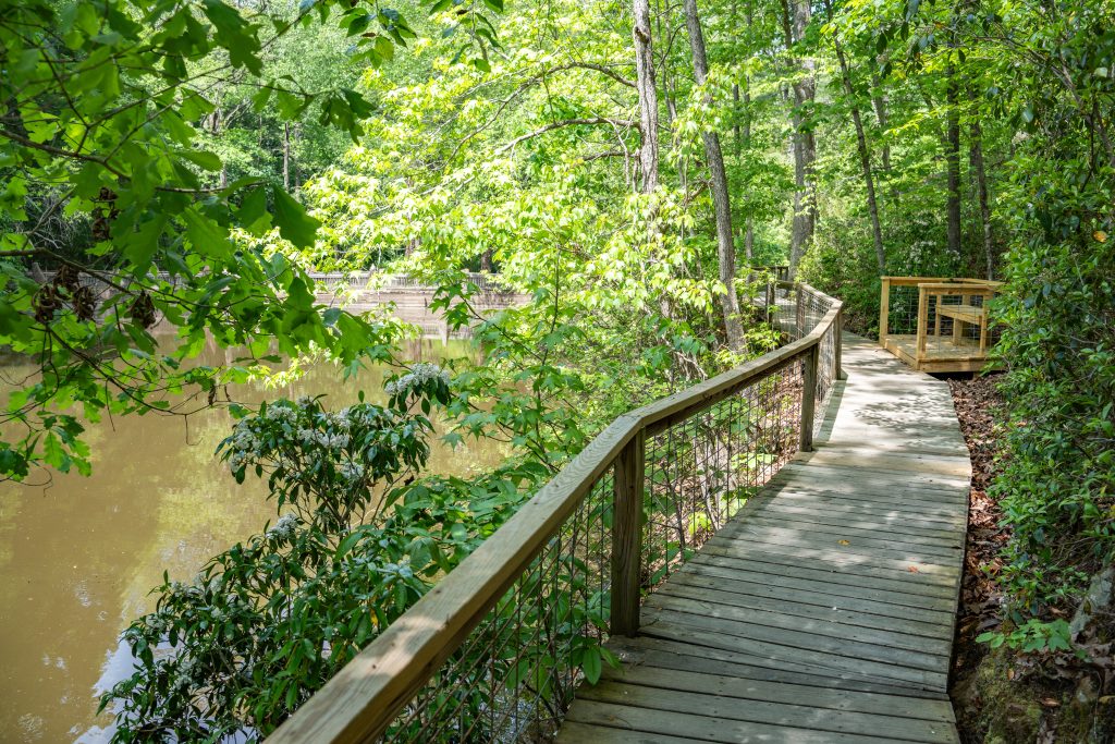
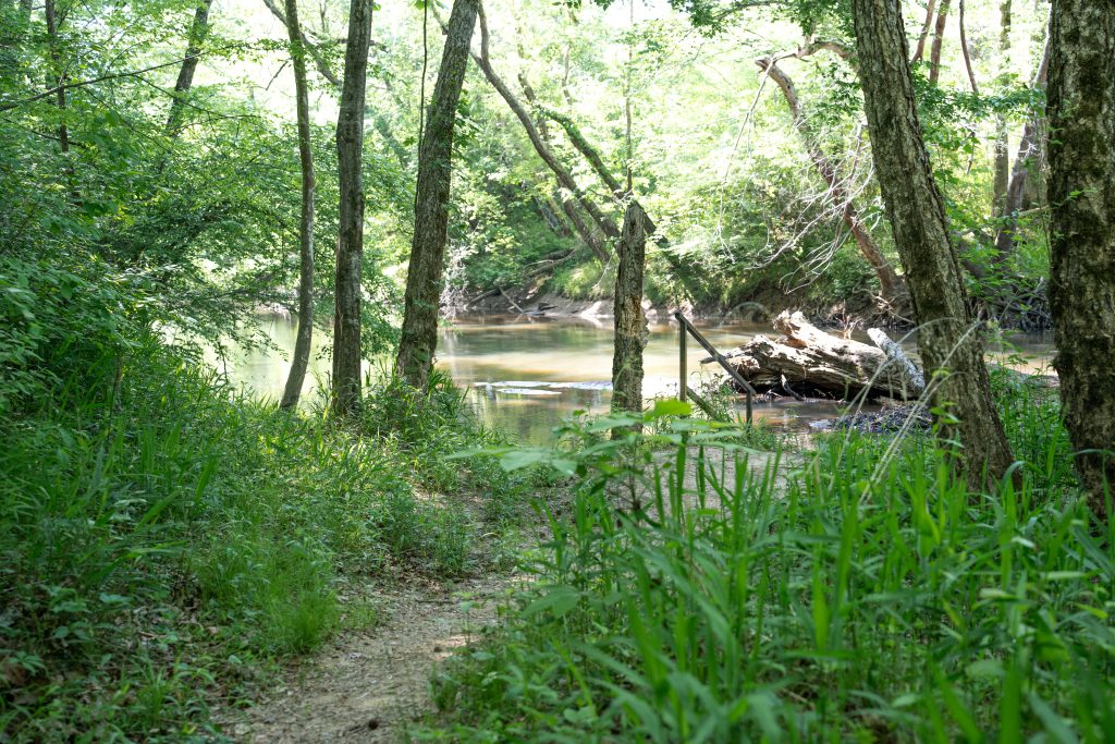
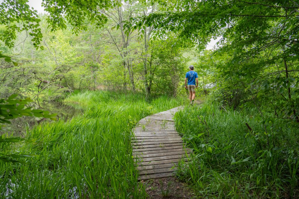
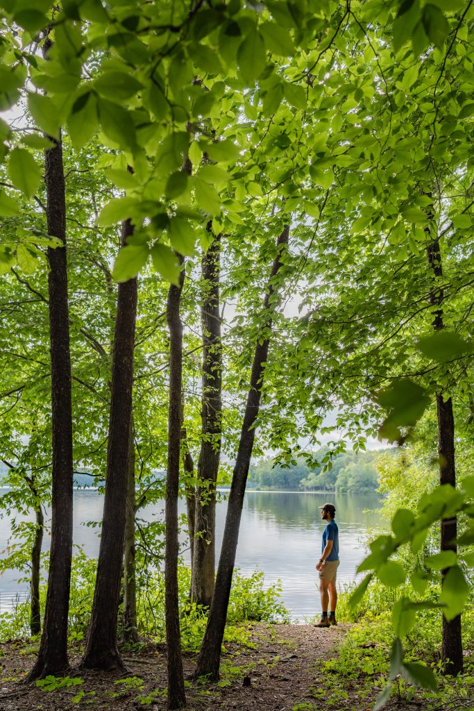
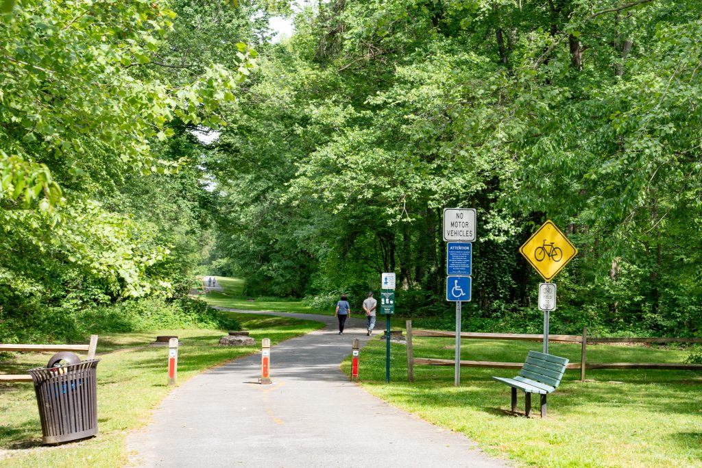
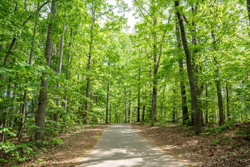
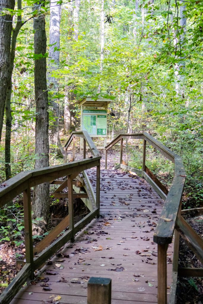
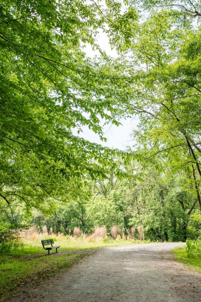
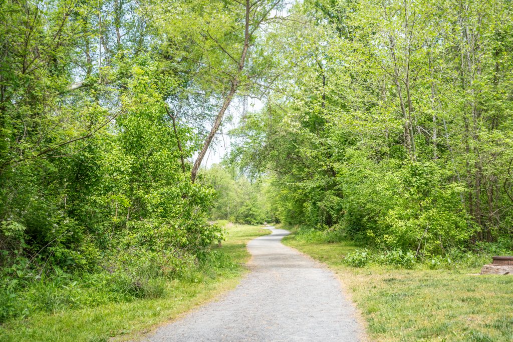
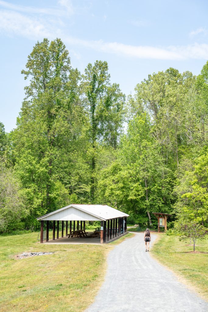
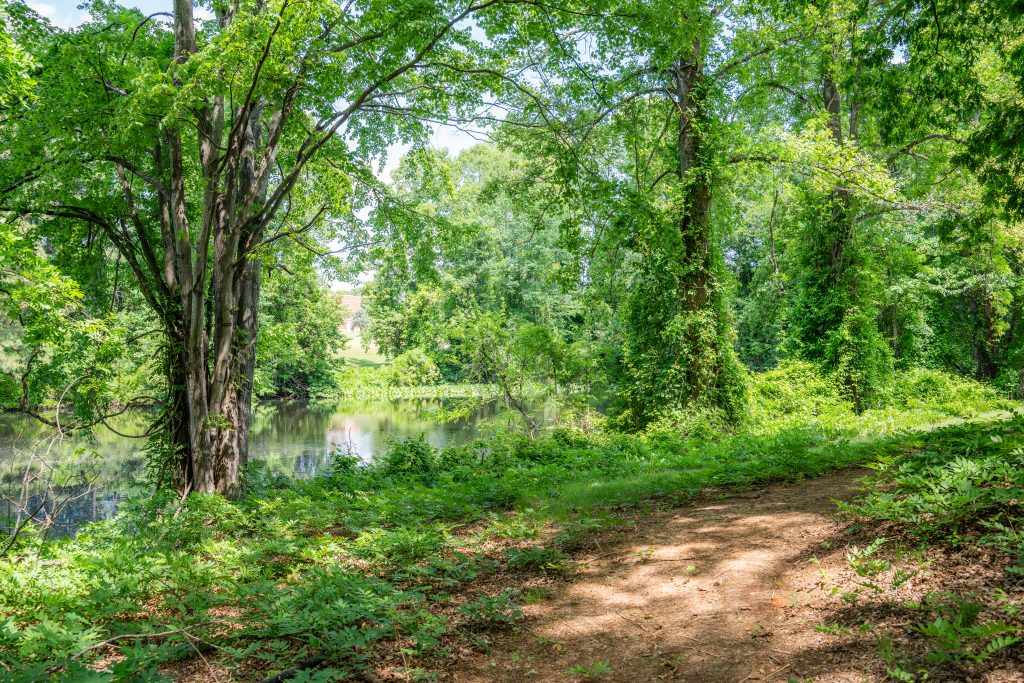
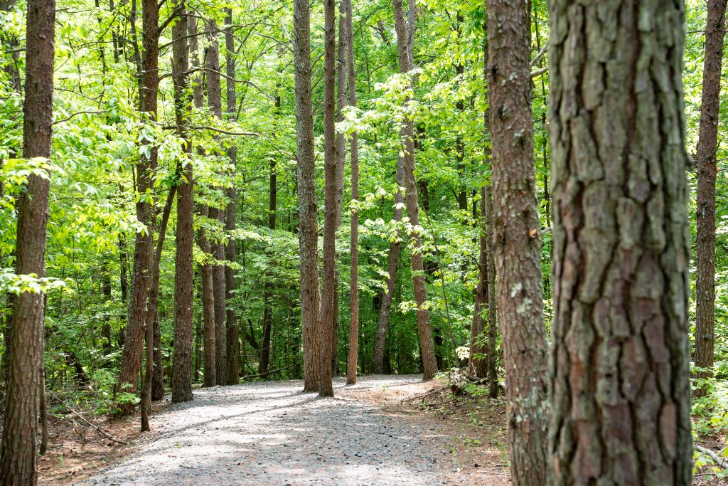
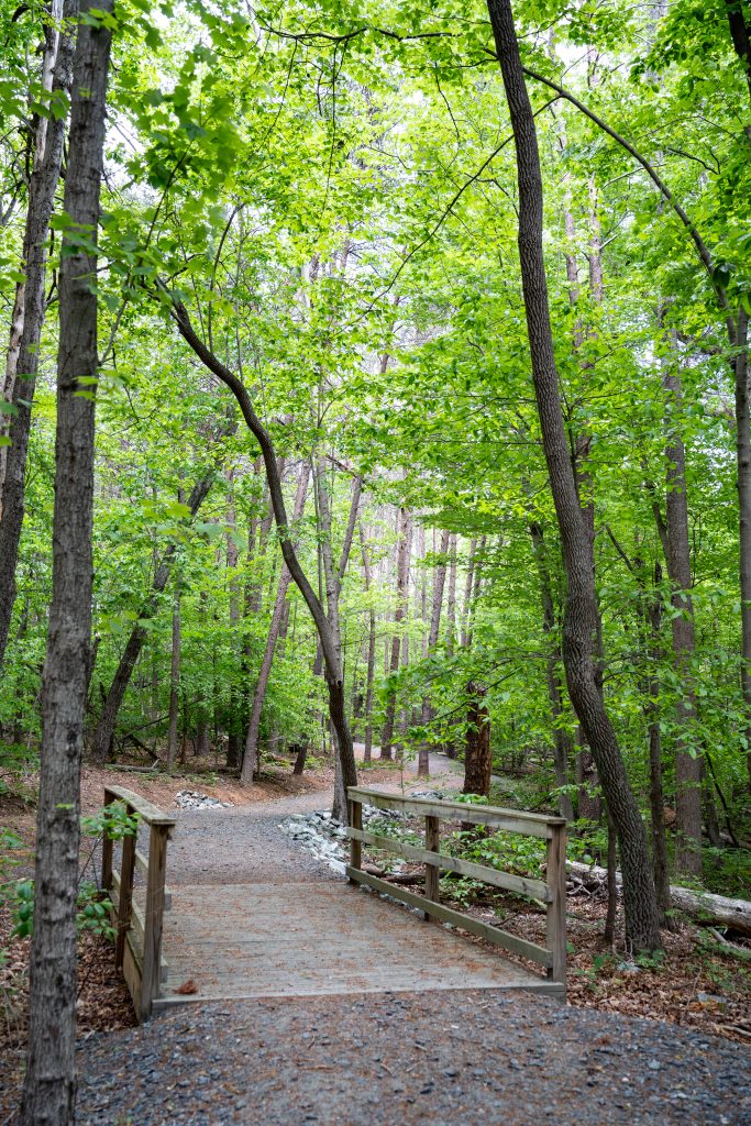
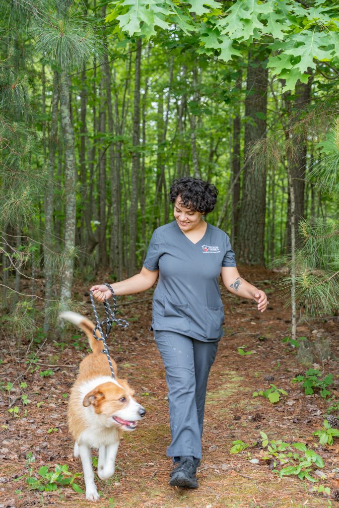
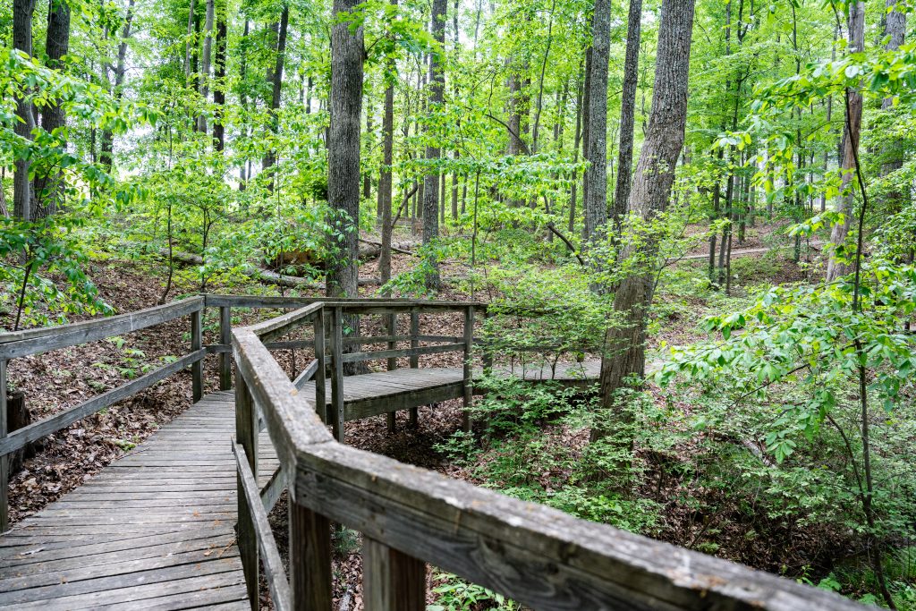
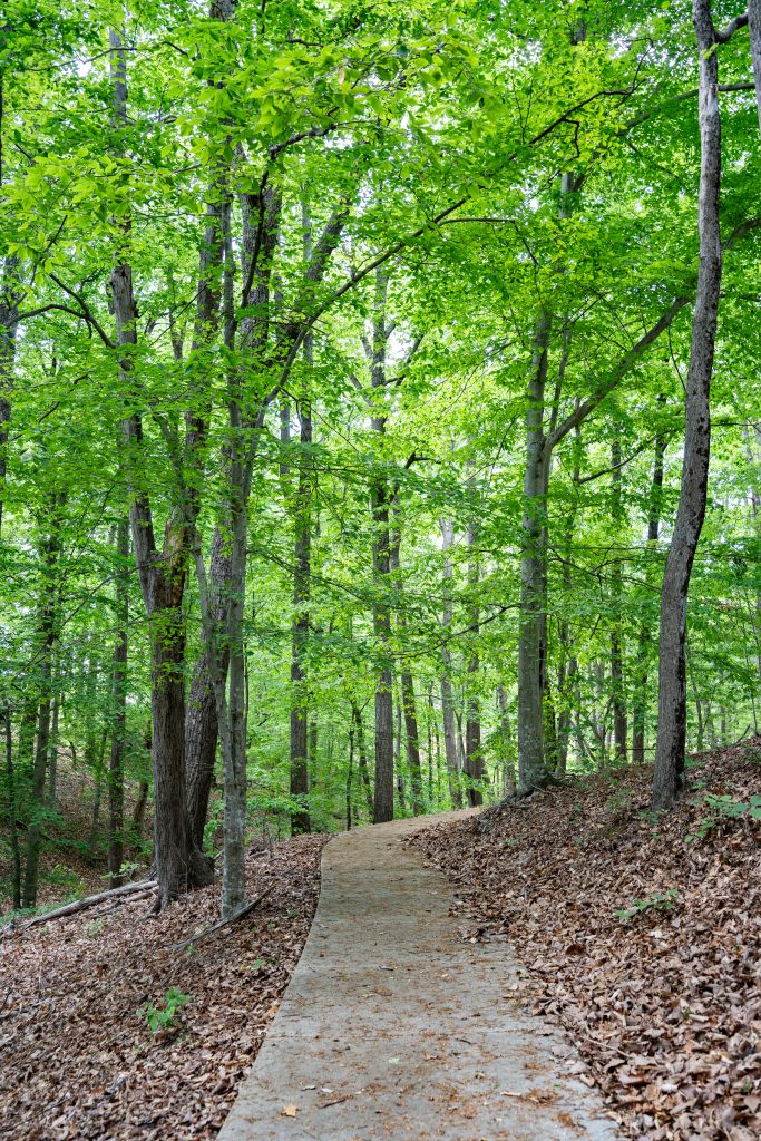
The historic Chinqua-Penn Walking Trail is packed with history and scenic beauty! This 1.6-mile trail winds through an old quarry, historic dam, and along pastures where Black Angus cattle—descendants of Jeff Penn’s prized 1940s herd—still graze (yes, the fence is electric!)
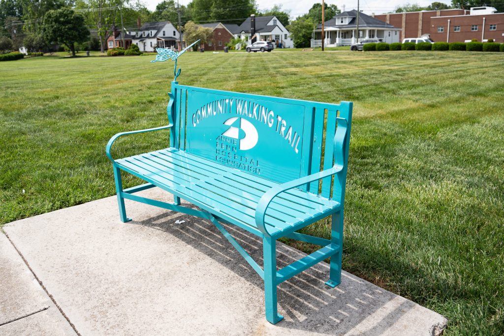
Once part of the 1,000-acre Chinqua-Penn Plantation, this land was home to Betsy and Jeff Penn, who built an innovative working farm in the early 20th century. Betsy later donated the land to the state in 1954, paving the way for the Research Station and the Betsy-Jeff Penn 4-H Center.
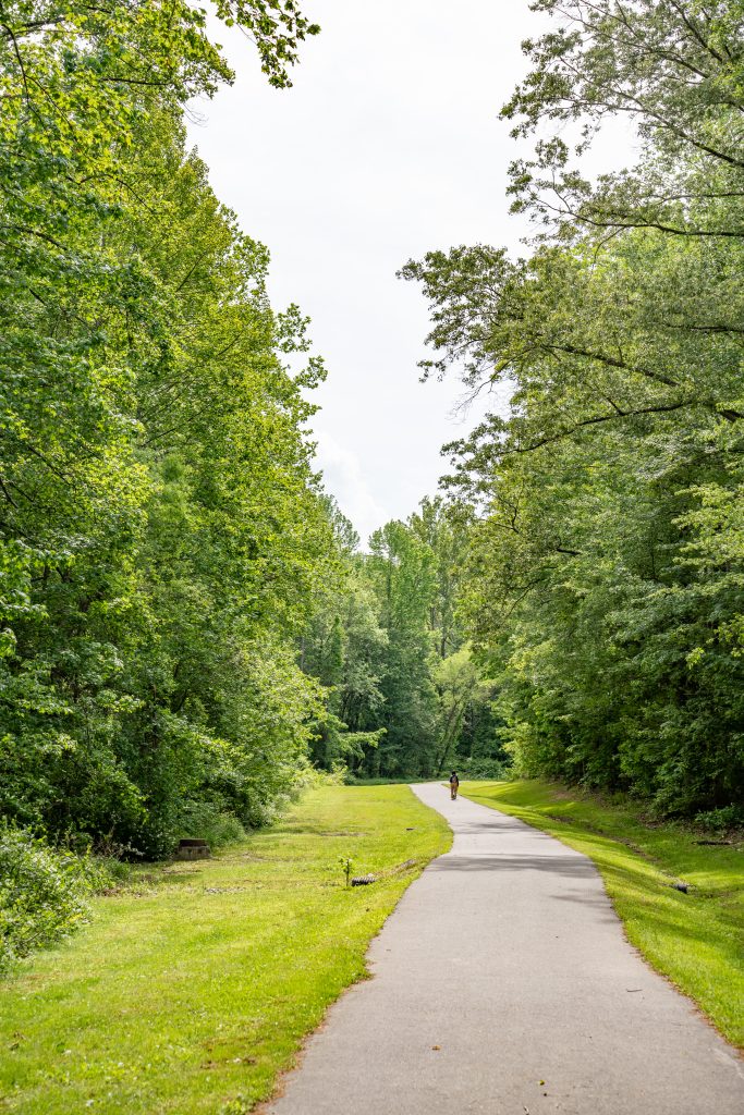
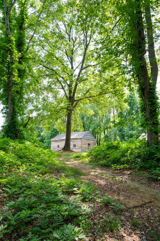
As you walk, you’ll pass historic remnants like an old quarry, a dam, stew site, and structures built from locally quarried stone where the Penns entertained guests. Some sections of the trail follow farm roads and carriage paths dating back to the 1920s.
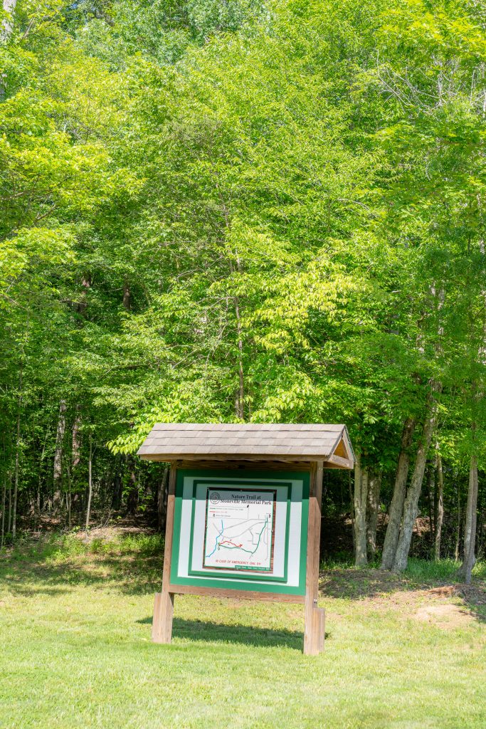
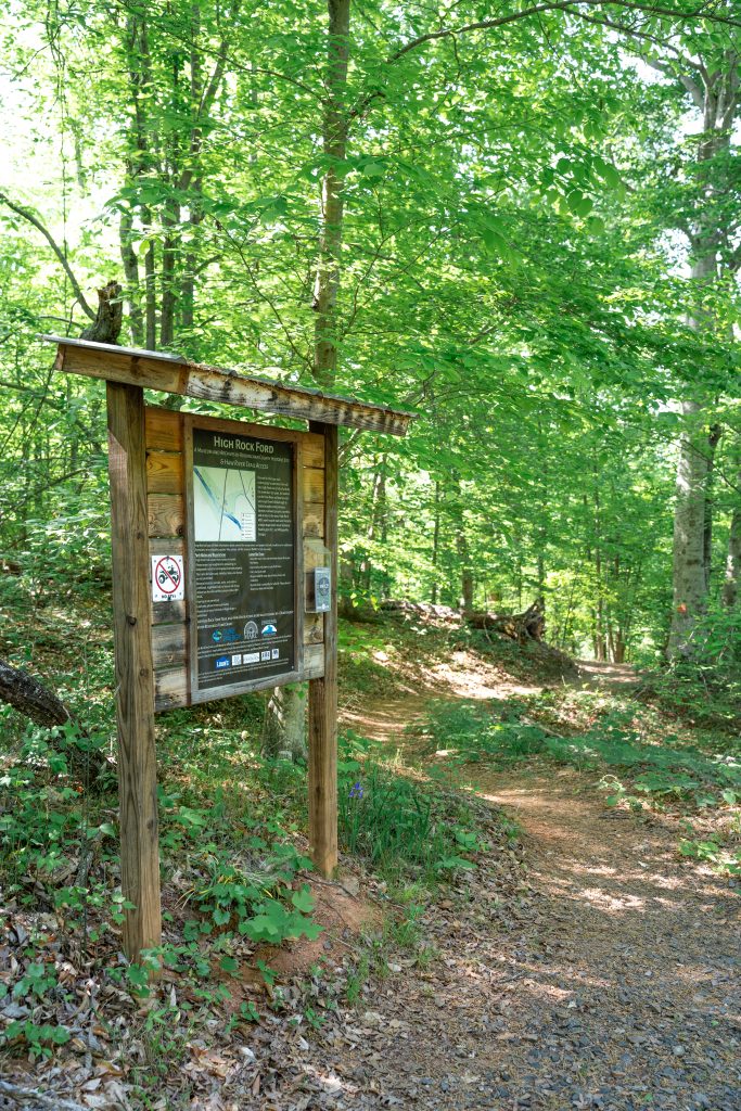
The trail itself was created in 1997 by Dr. Joe French and a dedicated group of volunteers. It’s still maintained by volunteers today, with all improvements funded by grants and donations. Want to learn more? Visit chinquapenntrail.org
- Wide gravel path with a few significant hills. Boardwalk near the lake narrows to about 4 feet.

- Distance: 1.6 miles
- Type: Loop
- Difficulty: Moderate
- Highlights: Dam, Quarry, Stone, Cattle, Stew Site
Haw River State Trail Access | High Rock Ford Historic Trail

The historic property is owned by the Museum and Archives of Rockingham County (MARC) due to its historic significance. In 1753 it was a grist mill that became popular for travelers and farmers. By 1771 it was a camp for the army during the war of regulation. In 1781 it became the staging area and gathering place of thousands of soldiers for the battle at Guilford Courthouse! New Trails coming soon!
Find more historic opportunities in Rockingham County here.
- Not recommended for accessibility: sandy footpaths with large rocks in the trail.

- Distance: 0.6 miles
- Type: Out & back
- Difficulty: Moderate
- Highlights: Big rock, Haw River
Lake Reidsville Yellow Trail

The Yellow Trail at Lake Reidsville is full of views of the lake, with a land bridge, and board walk, and is intertwined with a disc golf course you can find Here on UDisc. Enjoy kayaking, fishing, skiing, boating, disc golf, and over 4 miles of hiking and biking trails. Check out their website for camping! Check here for more info.
- Natural surface with many rots and significant elevation change, and muddy spots after rain.

- Distance: 3.5
- Type: Out-and-back
- Difficulty: Easy
- Highlights: Lake, disc golf, fishing spots, land bridge
Annie Penn Hospital Walking Trail

This urban trail is street side and begins at the Annie Penn Hospital parking lot. There are two benches along the way.
- Accessibility: Flat concrete sidewalk. Beware of two driveways with substantial sloping towards Main st.
Sherwood Trail | Reidsville Greenway

This greenway trail connects Sherwood Dr. to the Courtland Park and Bird Sanctuary. There is a long sidewalk connection between Courtland Park and the Greenway section!
Trailheads
- Courtland Park: Crescent Dr, Reidsville, NC 27320
- Sherwood Trailhead: 88V6+QV Reidsville, North Carolina
- Accessibility: Flat wide paved greenway. Sidewalks with multiple street crossings when starting from the Courtland Park Access.
Jaycee Trail | Reidsville Greenway

This greenway trail connects Jaycee Park to the Reidsville Community Stadium. Great for a walk in the woods. Passes near ball fields and courts.
Trailheads
- Jaycee Park: 125 Jaycee Park Rd, Reidsville, NC 27320
- Reidsville Community Stadium: 88HF+94 Reidsville, North Carolina
- Accessibility: Wide and paved with some considerable hills
STOKESDALE
Knight Brown Nature Preserve

With almost five miles of walking trails, the Knight Brown Nature Preserve showcases a wooded valley, two gently rippling streams, many different types of ferns, spring wildflowers, and the rare eastern leatherwood shrub. The preserve has an informational kiosk at the trail head, handmade benches at various places, two bridges and picnic tables. There are 6 individual trails that make up this trail system to explore. Check out the AllTrails map to see route options.
- Beechwood Bottom Loop 0.6 miles
- Poets Walk 0.75 miles
- Running Pines 0.6 miles
- Fern Trail o.5 miles
- Canopy View Loop 0.25 miles
- Leatherwood Loop 1.1 miles
- Creekside Loop 1.1 miles
- Not recommended due to steeper hills and rooted trails
Belews Lake Paddle Access | Carolina Marina

All paddlers must pay a fee to use the boat ramp. Please check their website here for the most up to date information on hours, fees, and rules.

- Type: Paddle
- Difficulty: Easy
- Highlights: Belews Lake, Restaurant on the water
Hogans Creek Park

This trail is a quiet walk in the woods or a technical mountain bike adventure! Start at the gravel trailhead parking lot, enjoy amenities like a bathroom, and picnic tables.
- The trail traverses rock gardens and switchbacks as mountain bike features.
EDEN
Freedom Park

121 N Edgewood Rd. Eden, NC 27288
Freedom Park offers a 6 foot wide paved trail, flat loop a very large field in the middle. The park has a beautiful view of the water tower!
For hours and info visit here.
- Accessibility: Flat with no slope, 6 foot paved track style loop.
Smith River Greenway

This trail meanders through the woods along the Smith River. There is a football field sized pollinator garden and butterfly artwork along the trail.
There are two trailheads:
- Island Ford Landing and Smith River Greenway Trailhead | 901 River Dr, Eden, NC 27288
- Eden YMCA Trailhead | 301 S Kennedy St, Eden, NC 27288
- Accessibility: Steep hills near the YMCA.

- Distance: 2.6 miles
- Type: Out & back
- Difficulty: Easy
- Highlights: Smith River, Butterfly art
Matrimony Creek

This two mile hike begins on a wide gravel greenway and leads to a dead end in Matrimony Creek where you will find a large cascading rapid in the creek!
“In 1728, when William Byrd was surveying the boundary line between the colonies of North Carolina and Virginia, he wrote in his diary that Matrimony was “call’d so by an unfortunate married man because it was exceeding noisy and impetuous.” – Dan River Basin Association
Read more about the history of Matrimony Creek Here.
- Accessibility: Wide gravel path
WENTWORTH
Duke Energy Trails at Rockingham Community College

In the summer, this trail is a great way to stay cool! The temperature instantly drops when you enter this trail due to the heavy tree coverage. The Cascades Trail is accessed from the Woodlands Trail closest to the Bishopric Trailhead. Hike approximately 0.5 miles on the Woodlands Trail and go left at the Woodlands Trail/Cascades Trail intersection. The Cascades Trail is a lasso loop. For the most direct route to the cascades, turn left at the next trail intersection. Make sure to hike the short spur (left) down the stone steps to the viewing platform for the cascades.
Two Trailheads
- Bishopric Trailhead: 96MR+G5 Reidsville, North Carolina
- Science Trailhead: 215 Wrenn Memorial Rd, Wentworth, NC 27320
- Accessibility: Not recommended

- Distance: 3 miles
- Type: System
- Difficulty: Easy
- Highlights: Small Cascade, historic site
Wentworth Park Trail

This trail offers a short tranquil walk in the woods. The gravel path provides a loop that starts and ends just behind the amphitheater in Wentworth Town Park.
- Accessibility: 12 flat gravel path with almost no outslope
Rockingham County Pathways Trail

Don’t want to hike alone? Grab a friend from the Animal Shelter before hitting the trail for a doggy day out! Check their website here for more info and hours.
Trailheads
- Rockingham Animal Shelter: 250 Cherokee Camp Rd, Reidsville, NC 27320
- Rockingham Social Services: 371 NC-65, Reidsville, NC 27320
- Wentworth Post Office: 200 County Home Rd, Wentworth, NC 27375
- Accessibility: Not recommended
Rockingham County Veterans Park

Begin at the Rockingham County Governmental Center. This paved trail is shaded throughout. There are views of a creek in the middle of the small park. There are lots of benches along the way with grills. As you walk, there are multiple dedications to veterans.
- Accessibility: 5 ft. concrete path with considerable elevation change. There is one boardwalk at the lowest point on the trail.

- Distance: 0.4 miles
- Type: Loop
- Difficulty: Easy
- Highlights: Creek, benches, veterans memorial sites
View this profile on InstagramPiedmont Legacy Trails (@piedmontlegacytrails) • Instagram photos and videos